Purpose of the challenge Run,
To
raise awareness of Autism , the only thing we would like to ask is to visit a site about
autism and become aware ,
if you are doing a charity event please consider supporting a local autism or national autism group .
Course can be started from any of access points which lead to the
Winter Hill area , you can start from
Horwich ,Belmont, Rivington ,Wilderswood ,Montcliffe, Georges lane,
Coal Pit road, Burn edge , go to the nearest peak and follow the route clockwise or
anticlockwise.
Times:
please post your times as comments against this Blog entry
Advice:
Route should be across the fell , Dont use Georges Lane/Belmont Road , main winter Hill road or Coal pit road to reduce times they can be used just for a access point to the course , the idea is to challenge yourself and use some of the less used routes/parts in this area, use the route’s as a guide and at your own risk , navigation skills are required as some of the peaks are not distinct , Dont underestimate this area ,weather can be harsh and change quickly and can vary even within a short distance : underfoot -this is wet and boggy even in the middle of summer ,
course has on it
hidden hazards, deep
tussock grass hiding deep ditches ,old mine workings, deep bog, steep slope’s
In winter this route will be harsh and will involve night time navigation often in poor conditions.
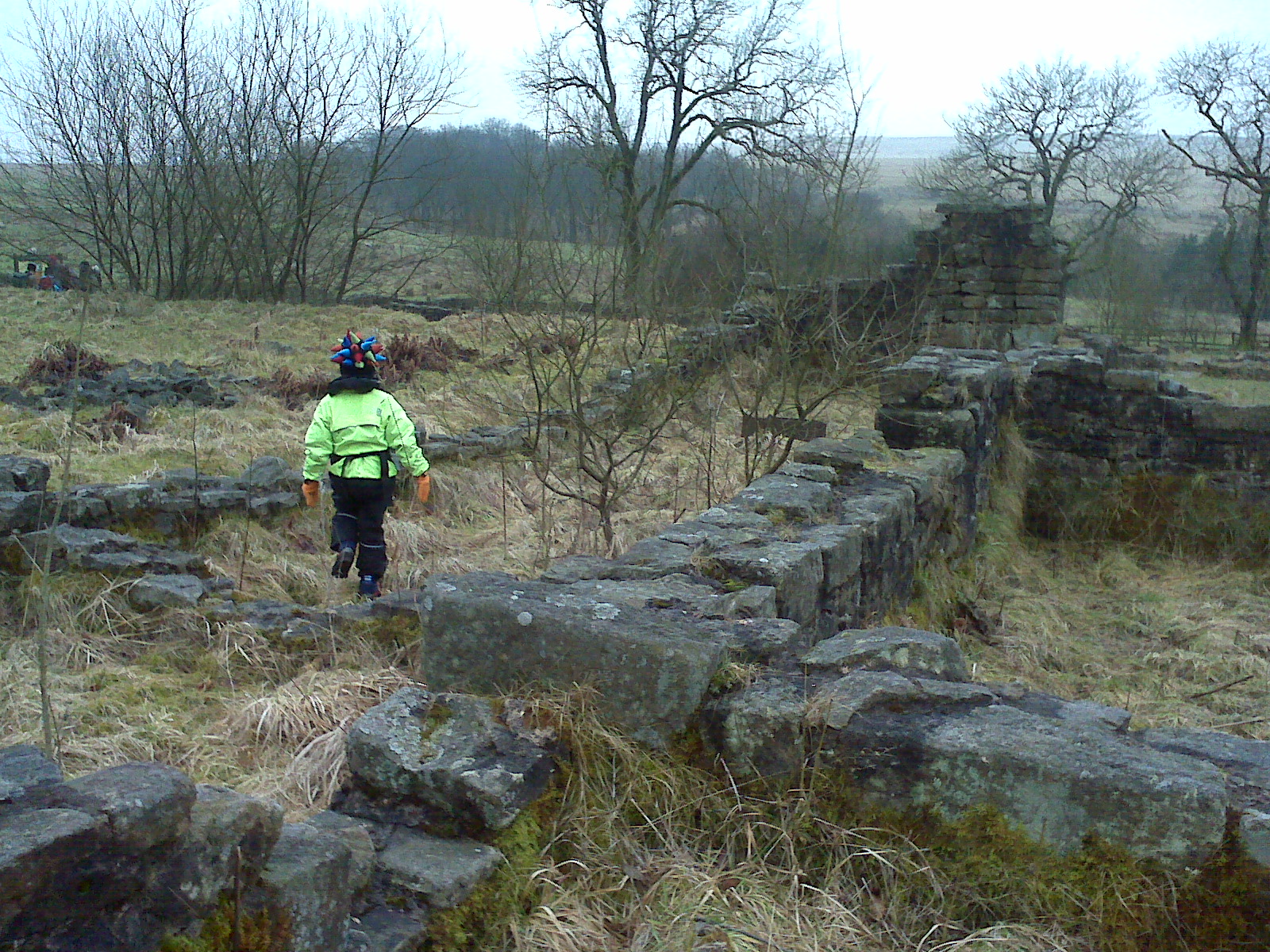
Note :We have not been able to do this as a complete run as Jake is only 7 and so we have had to be split into sections though Jake managed 6.8 miles , Jake has enjoyed putting this together and will I am sure develop this further
Jake of Winter Hill 10 peaks course option 1 or
Jake of Winter Hill 14 peaks course option 2
core peaks for option 1 and 2
Brown Hill peak 2,
Crooked edge peak 3,
Two lads peak 4
Adam Hill Peak 5
White Brow Peak 6
(optional 350m Knoll Peak below would be +1 )
go to either option 1 or option 2
see the following Blog entry
| Name |
Locality |
Elevation |
OS grid reference |
| Winter Hill † |
Rivington |
456 metres (1,496 ft) |
SD659149 |
| Counting Hill |
Smithills/Belmont |
433 metres (1,421 ft) |
SD671141 |
| Two Lads Hill † |
Horwich |
389 metres (1,276 ft) |
SD655133 |
| Noon Hill † |
Rivington |
380 metres (1,247 ft) |
SD647150 |
| Crooked Edge Hill |
Horwich |
375 metres (1,230 ft) |
SD654134 |
| Rivington Pike |
Rivington |
362 metres (1,188 ft) |
SD643138 |
| Adam Hill |
Horwich |
360 metres (1,181 ft) |
SD660126 |
| White Brow |
Horwich |
358 metres (1,175 ft) |
SD661124 |
| Whimberry Hill |
Belmont |
340 metres (1,115 ft) |
SD686139 |
| Egg Hillock |
Belmont |
328 metres (1,076 ft) |
SD684142 |
| Brown Hill |
Rivington |
325 metres (1,066 ft) |
SD644135 |
| Brown Lowe |
Smithills |
325 metres (1,066 ft) |
SD669130 |
| Burnt Edge |
Horwich |
325 metres (1,066 ft) |
SD667125 |
taken from http://en.wikipedia.org/wiki/Rivington_Pike#Summits_in_and_around_the_Rivington_area
|
Option 1 – the 10 peaks
Counting Hill Peak 7 ,
Winter Hill Trig Peak 8,
Noon Hill Peak 9,
Catter nab peak 10
rtn to Start point ,
6.7 miles aprox
see below
see the 3 routes below
Jake of Winter Hill 14 peaks
Option 2 – the 14 peaks
Lomax wifes trig Peak 7 , -look for Trig point at 343 above Lomax
Wife farm near Horrocks Moor
whimberry hill Peak 8,
egg hillock peak 9
counting hill Peak 10,
Winter Hill Peak 11,
Noon Hill peak 12,
Catter Nab Peak 13
Scotmans Stump Peak 14
rtn to start point Rivington Pike
route (aprox) 10.5 miles
see the following routes