Archive for mine

Keld ,Crack pot Hall, Beldi Lead Mines and Swinner Gill.

Posted in Beldi Lead Mines, Crack pot Hall, Keld, mine, Mine adit, Swaledale, Swinner Gill, waterfalls, Yorkshire dales with tags , , , , , , , , , , on May 14, 2011 by jakeofwinterhill

>

http://en.wikipedia.org/wiki/Keld,_North_Yorkshire
http://www.focaldepth.co.uk/index.php?page=10&sel=1&catg=&search=
http://www.mindat.org/loc-4873.html
http://www.aucu61.dsl.pipex.com/swaledal.htm
http://www.aboutbritain.com/towns/keld.asp
http://www.brillmusica.com/images/Images27/index.html
http://www.waterfallsoftheyorkshiredales.co.uk/info28981.html
http://www.pdmhs.com/PDFs/ScannedBulletinArticles/Bulletin%2011-4%20-%20The%20AD%20Lead%20Mines%20in%20Swaledale,%20Yorkshire.pdf

Keld is in the Yorkshire dales -swaledale

Fossils, they look like old worms !

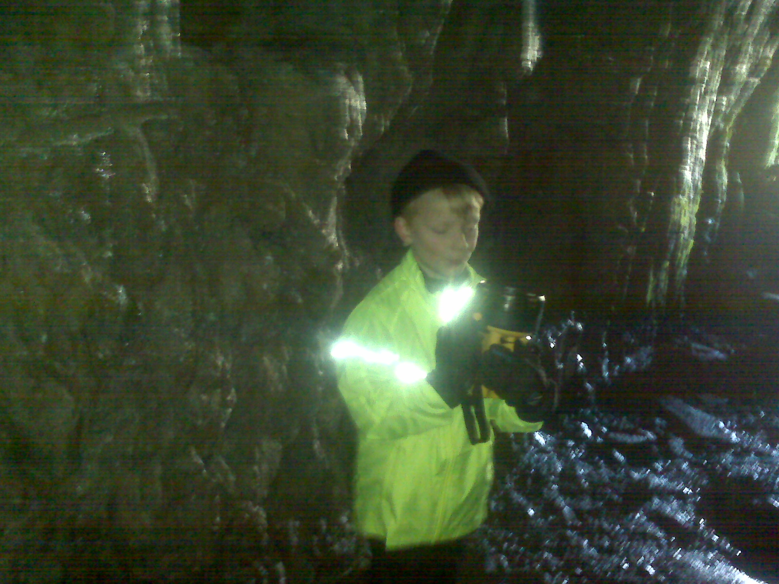
searching a mine tunnel ?

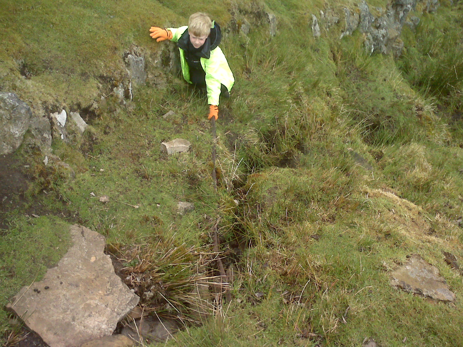
old rail from one of the mines !

me on a old tractor !

http://www.magneticnorthphotography.com/photo4110347.html
http://www.flickr.com/photos/36652311@N03/5016709847/
http://www.mindat.org/sitegallery.php?loc=215050

Crackpot Hall , the kitchen ,

this is how they used to have a bath its a old tin bath

can you see the date ?
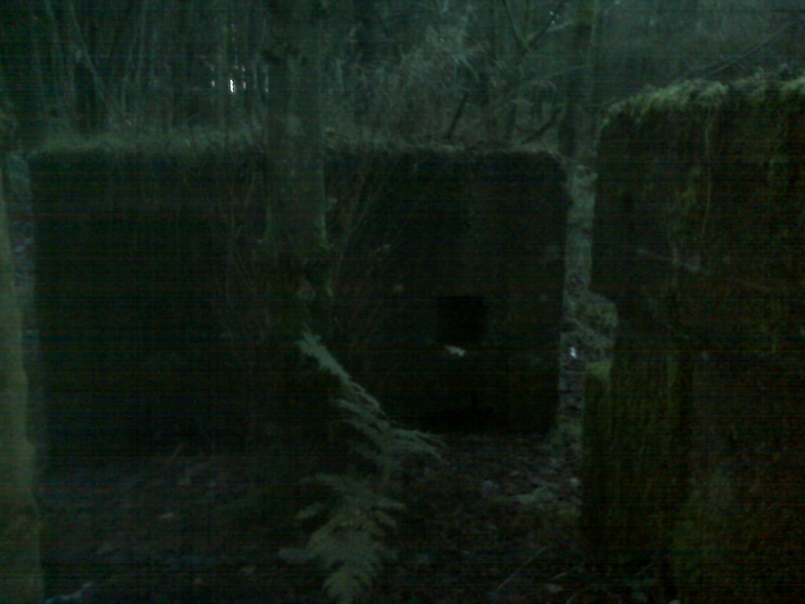
mine adit

river bed – swinner gill

lead vein

gill scrambling
This is a waterfall -its dry at the moment – I climbed this

at the top of the  waterfall

waterfall – old mine tunnel on left blocked after a few feet

the river disappears underground but does flow down the valley normally
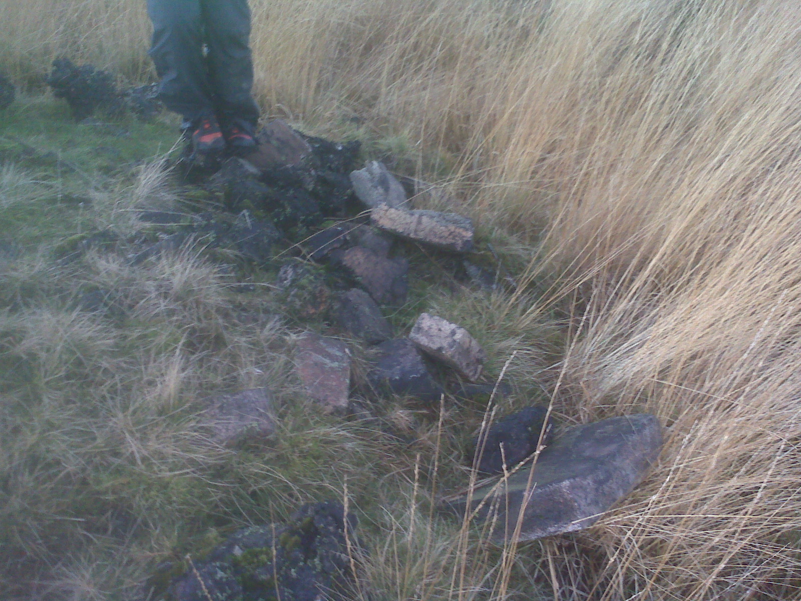
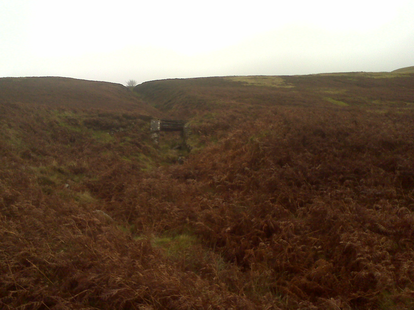
old mine bridge

mine adit – crackpot hall
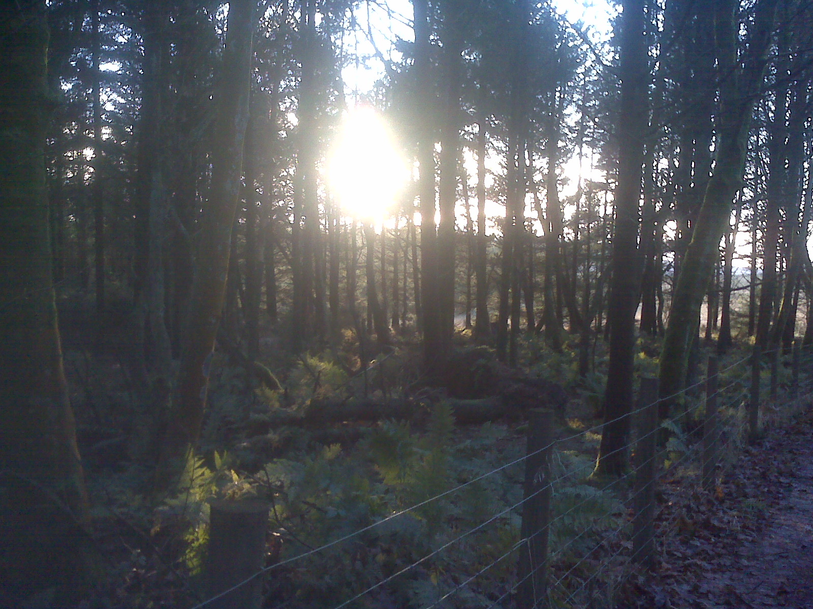
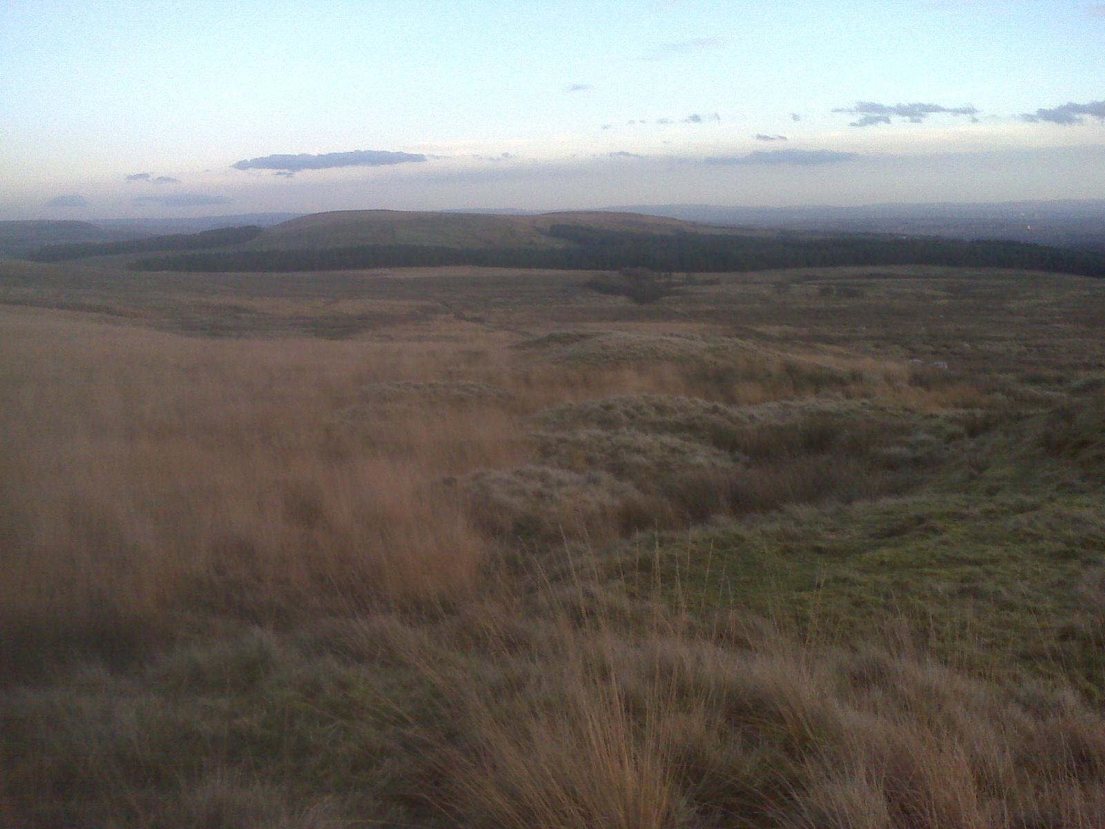
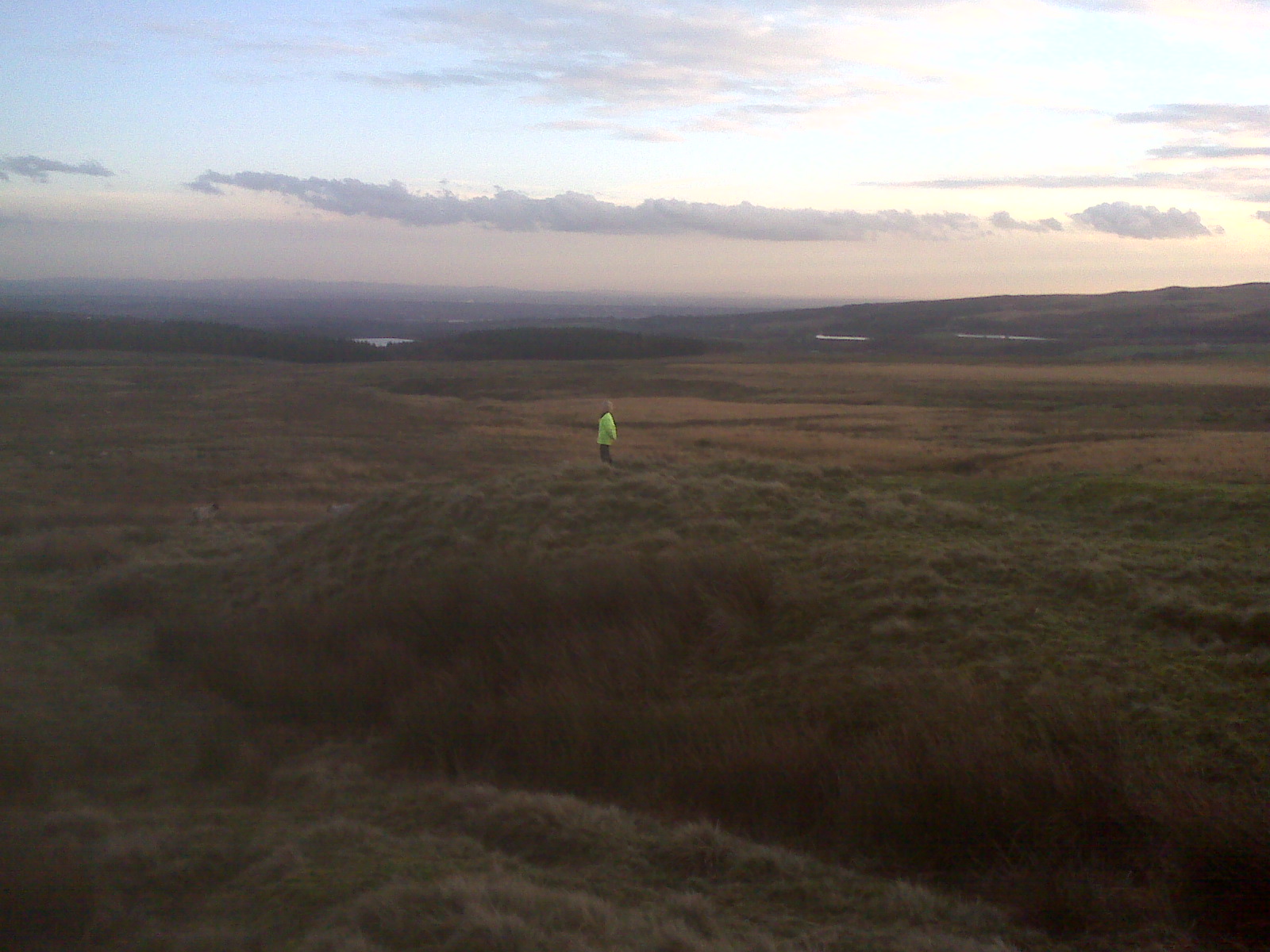
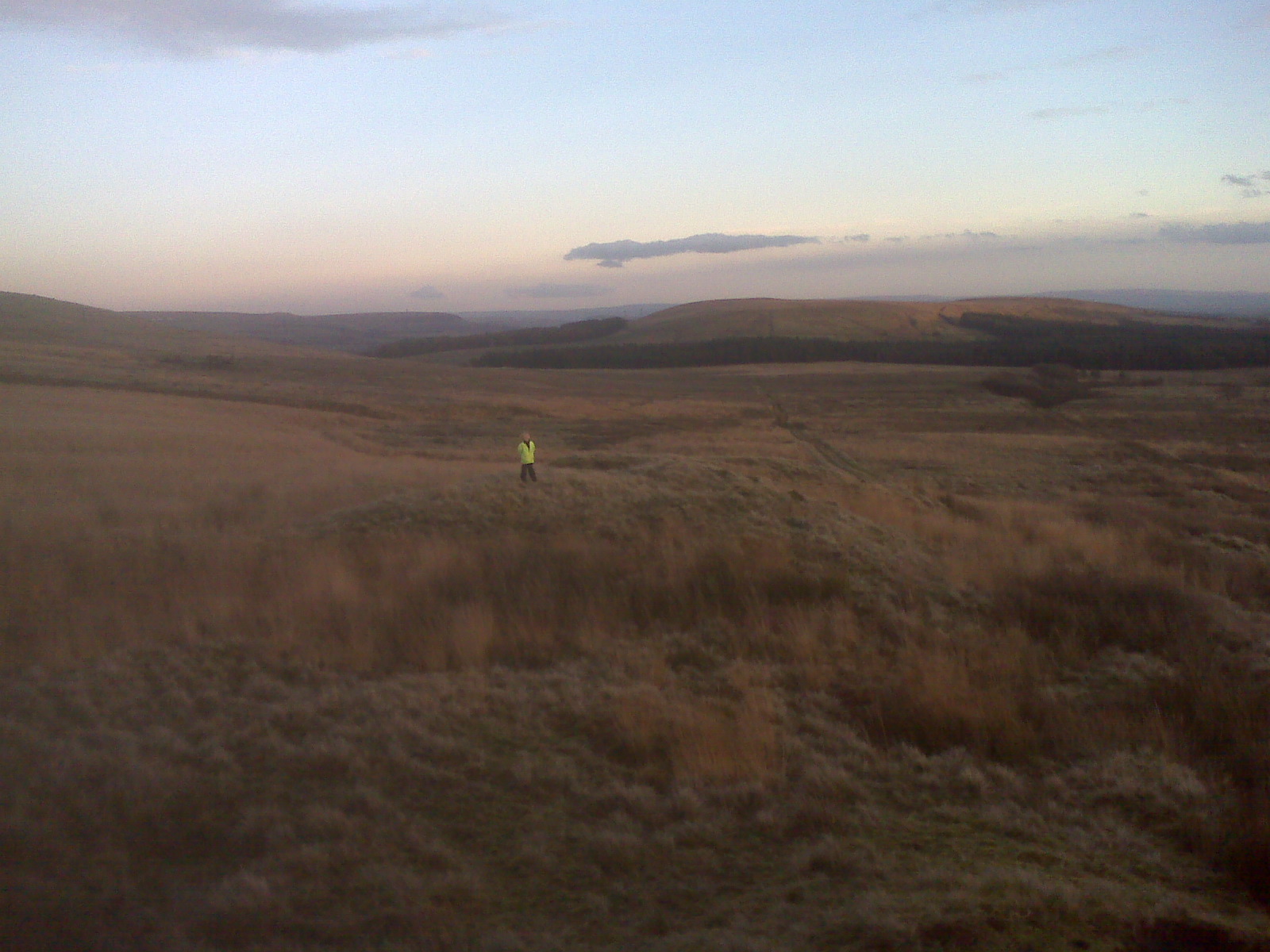
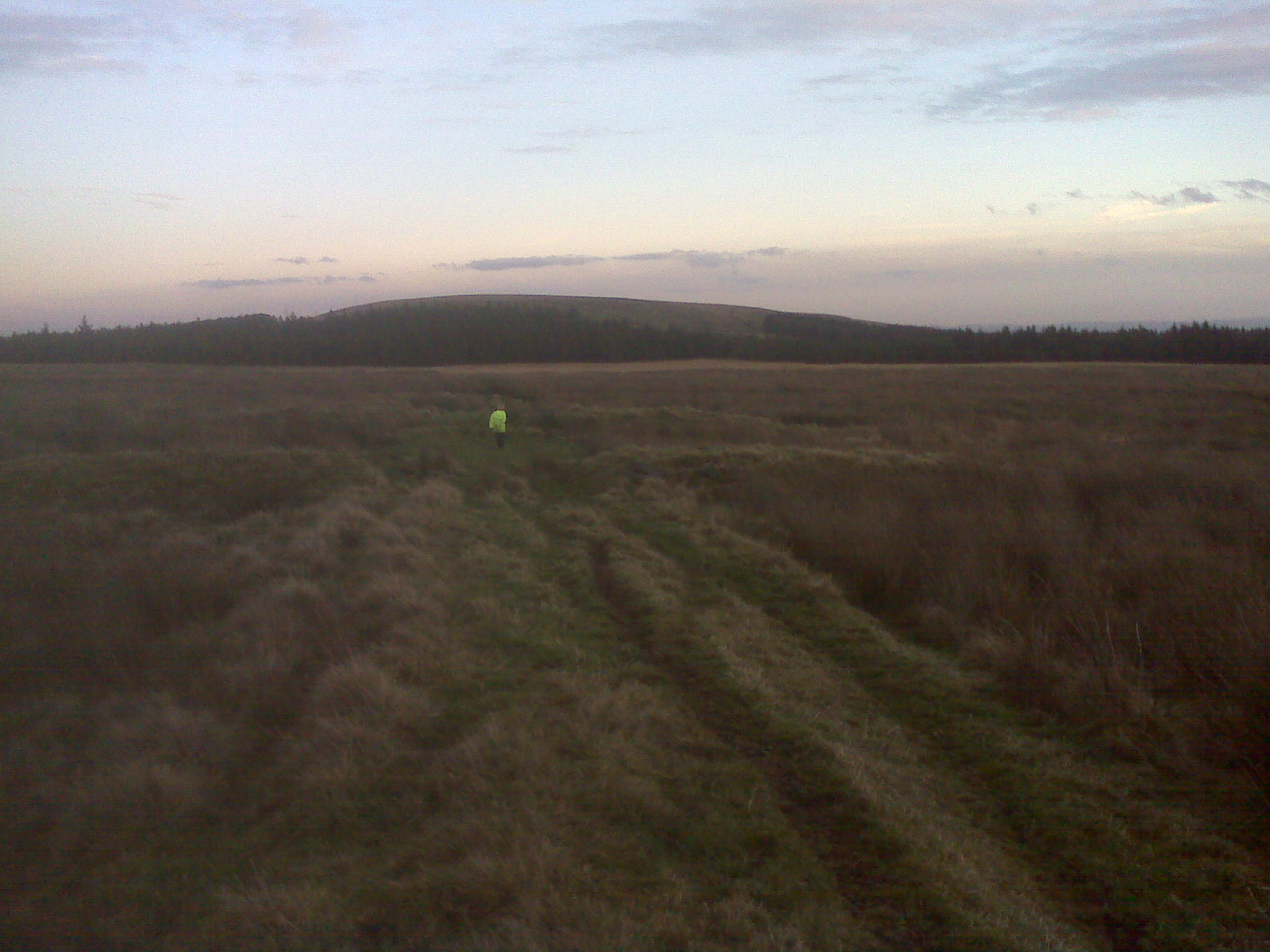
This hill was steep

Note from dad :
This is a steep Hill decent – my trainers couldn’t cope , Jake just kept on going !!!

http://www.aditnow.co.uk/mines/Beldi-Hill-Lead-Mine/
http://beldymine.piczo.com/?cr=3
http://www.aditnow.co.uk/album/Beldi-Hill-Lead-Mine-User-Album/?uid=988
http://www.mine-explorer.co.uk/mines/Beldi-hill_3046/Beldi-hill.asp
http://www.mine-explorer.co.uk/view_picture.asp?id=31305
http://www.flickr.com/photos/tom-swailes/3299499735/
http://www.mindat.org/locdana-4873.html

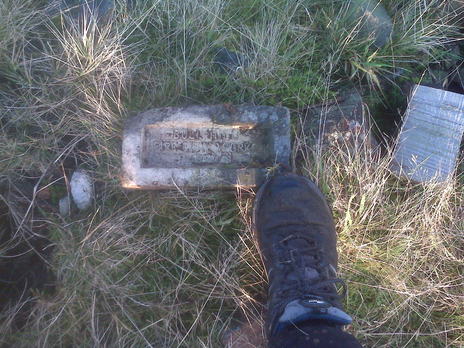
mine ore processing remains

old mine pulley ?
inside the mine tunnel

along the mine tunnel  please be careful !!!!!

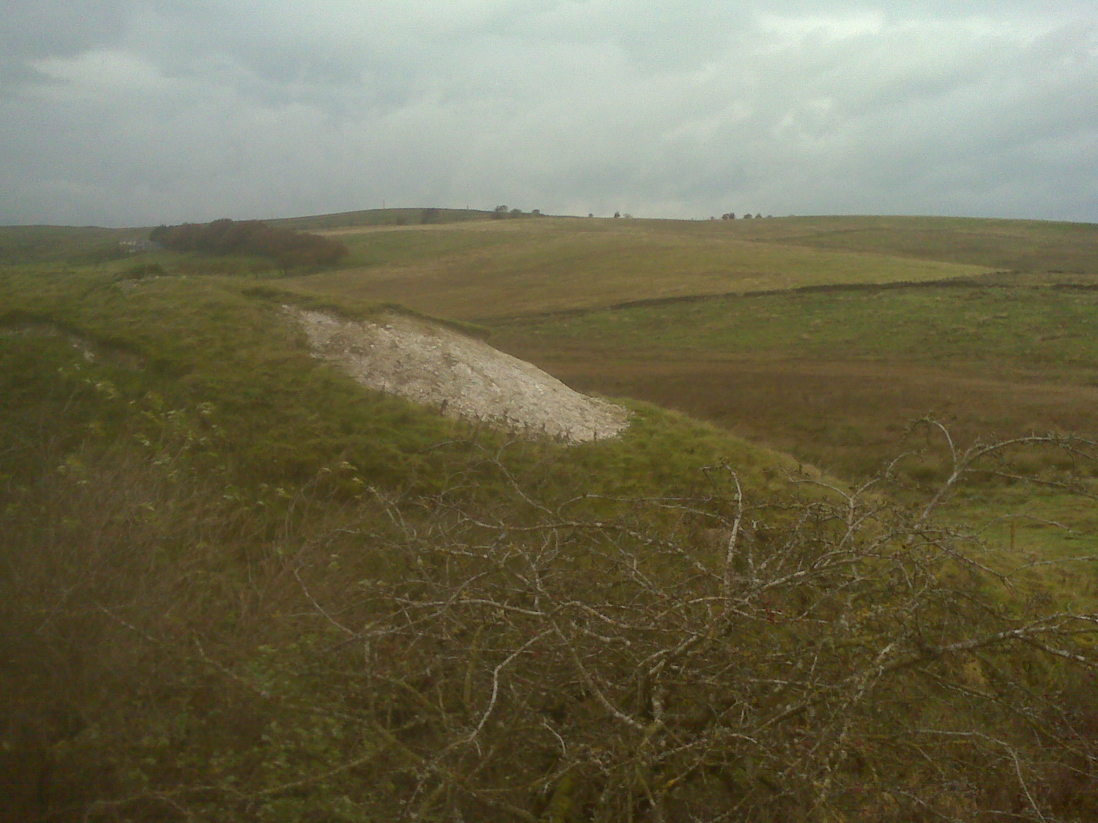
plants do not grow – this is because its toxic waste from the minerals in the mine waste

http://www.sanoodi.com/routes/keld-310160/
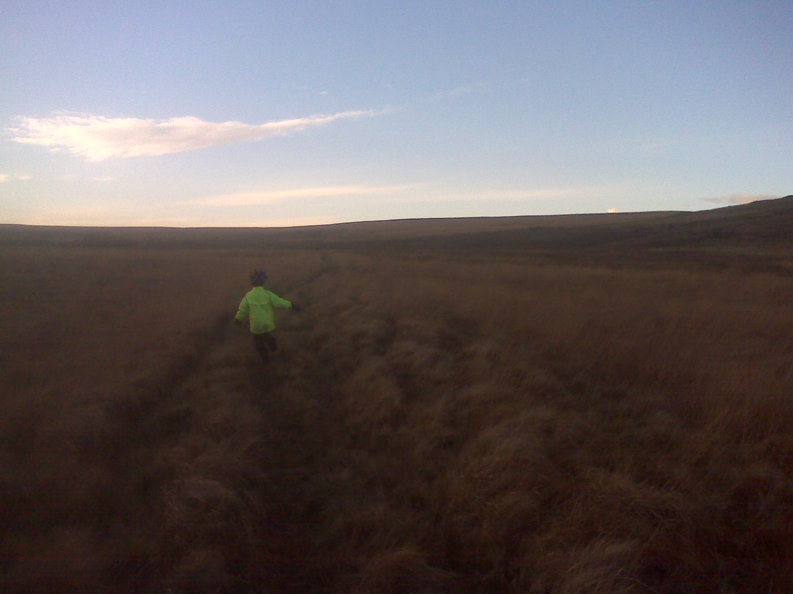
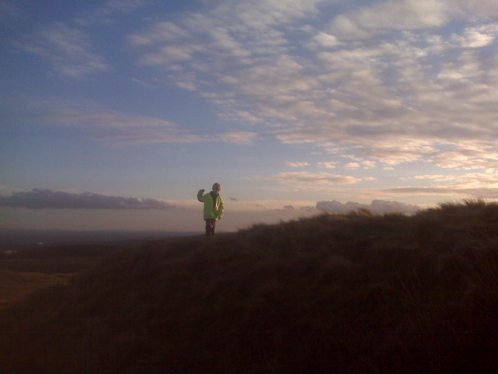
This is my route

Hello world!

Posted in Uncategorized with tags , , , , , , , , , , , , , , , , , , , , , , , , , , on December 12, 2010 by jakeofwinterhill

I am 7 years old and have Autism. This Blog is about what I can do not what I cannot , sometimes people think I cannot because I have autism ,this blog  is about challenging that!   I have lots of special interests, in particular running, exploring and this blog shows a small amount of what I get up to!

Cranberry Moss, Bull Hill, Darwen, – Old mines,Quarries and Old Brickwork site ?.

Posted in A666, Blackburn With Darwen, Bull Hill, colliery, Cranberry Moss, Deer, fell running, Lancashire, mine, Old Bricks, Old brickworks, Old mines, Old Quarry, winter hill with tags , , , , , , , , , , , , , on November 21, 2010 by jakeofwinterhill

Stone quarry
Note from Dad this was in line with the mines found later but no sign of any coal mine waste

on top of the quarry

looking towards the mines

hot chocolate on top of a mine waste tip

can you see Darwen tower ? and me of course !
to collect water ?

on top of a yet another  mine


mine entrances

stone sleeper ?

to another  mine  -in line with the quarry

long stone – part of the mine ?

I love hot chocolate -see the bricks?  – another old mine

another mine shaft

DANGEROUS BOG-KEEP OUT

Bull Hill Brickworks ?

brick kiln
see the picture of the Bull Hill Brick from this Kiln ?
two deer can you see them ?
last of the mines we saw – we came across around 32 old mines -too many to inspect each one
reasons for this area being full of mines ?
“The Entwistles used to sink little pits on Cranberry Moss, They were what was called Darwen yard mines .just a  few yards deep, coals were bought up by windlass, and sent to Turton, there was  fighting amongst the men. Some of them were too lazy to go down for coal, but when it was brought up they would fight for its ownership”
referance to Darwen yard mines
http://cottontown.org/page.cfm?LANGUAGE=eng&pageID=1251
Our route
weather Cold  below 4c, High chill factor, Jake is now in winter grade clothing , we have changed Jakes socks to include a  waterproof /Breathable layer plus thermal layer, He has brand new Walsh PB’s for increased traction.


Useful links
Information about the River Darwen which starts on Cranberry Moss

Bull hill maternity hospital
reference to mining at Cranberry moss
fireclay accidents – mines on cranberry moss
reference to mine in this area


Disused Turton Moor Colliery/brickworks site ?, Turton Moor, near Belmont ,Blackburn With Darwen

Posted in Belmont, Blackburn With Darwen, colliery, Lancashire, mine, Old brickworks, Old mines, Railway, Tramway, Turton Moor, winter hill with tags , , , , , , , , , , on November 13, 2010 by jakeofwinterhill

spooky woods

tramway to the mine

going up the mountain

Whitaker, Darwen brick

http://www.penmorfa.com/bricks/england8.html
site about bricks

Bull Hill Fire Clay works Darwin – look at the Brick
Note from Dad
http://www.geograph.org.uk/photo/34497
at Bull Hill there was a sanatorium , plus evidence of mines -based upon maps unknown location of the Brickworks ?

http://www.geograph.org.uk/photo/1731735
Turton Moor Colliery site ? two shafts Winter Hill on right hand side in the background

Turton Moor Colliery  view of site looking down the hill

Turton Moor Colliery  -another waste tip ?

Turton Moor Colliery  waste tips -lots of burnt coal ?

Turton Moor Brick Works – lots of old bricks here !

4 ramps for the tramway ?

where they put the gold 😉  in the spooky woods -the woods were very dark and  wet!


Dads Note :pipe works by Blackburn Road,? lot of iron engine mounting’s found as well

http://www.british-history.ac.uk/report.aspx?compid=53115
history of the Blackburn and Darwin area

http://en.wikipedia.org/wiki/West_Pennine_Moors
information about the West Pennine Moors


http://www.westpenninemoors.com/discover_intro
information about the West Pennine Moors

http://www.enotes.com/topic/West_Pennine_Moors
information about the West Pennine Moors


http://www.blackburn.gov.uk/server.php?show=ConWebDoc.21132&setPaginate=No
Walks in this area with ref to pipe works by Blackburn Road,


http://www.cottontown.org/page.cfm?pageid=257
history of the Blackburn and Darwin area

RSPB Geltsdale, New venture drift/Howgill colliery and Forest head lime works,Cumbria

Posted in Brampton, Carlisle, Cumbria, fell running, Foggy, gairs, Kirkhouse Bricks, mine, Mine adit, Nature, Old mines, Old Quarry, underground with tags , , , , , , , , , , , , , , , on October 29, 2010 by jakeofwinterhill

New venture drift -wast tip

“Howgill Colliery – Another early Thompson project was the Howgill Colliery which was a drift connected to the Blacksyke Branch near Forest Head. Howgill was closed in 1880 but sections of it were worked many decades later to help boost the dwindling coal resources. In 1919 the Naworth Coal Company was again considering fresh mining activities closec to the old Howgill Colliery and the Venture drift was reopened beside the Gairs Branch south of Forest Head which entered the Howgill seam this was called the New Venture Drift. At its peak in 1923 it employed 46 below ground and 16 on the surface and finally closed in 1934”.
taken from http://www.cumbria-railways.co.uk/brampton_railway_mines.html

pipes from the mine -these are used to vent gases from tunnels

entrance to the drift mine -taken from the top of the drift entrance

we heard  water which sounded like it was from a  hollow tunnel -one of the other entrances to the drift mine!
railway cutting  to Gains colliery disused

a wall – look carefully a pipe !

a pipe to fill the water tank in the  steam trains ?

a water tank – pipe to the railway cutting  + valve found to control the water flow

a rainbow

capped mine shaft

mine waste tip

red lichen flower found on mine waste tip

forest head lime works,
very windy and wet on the ground

lime kilns

info about Lime Kiln’s

inside a lime kiln

mine ?

Railway loading bay

railway cutting disused

lime kiln waste

kirkhouse brick

RSPB Geltsdale -back at last
Weather: very wet ,windy high chill factor very strong winds which were very gusty visibility generally good  though, very tiring to be out and about on the high fells so we kept to the lowland parts , we will come back to this area.
Links to local area


Local places to shop


local photo
route

Lambley colliery, memorial for Roachburn pit disaster along the A689, Cumbria

Posted in A689, colliery, Kirkhouse Bricks, Lambley, Memorials, mine, Old mine, Roachburn with tags , , , , , , , , on October 29, 2010 by jakeofwinterhill

a mine memorial for Roachburn colliery disaster

web links for facts about this disaster and the memorial


http://www.beamishcollections.com/rrc/audiolist.asp?MainCatId=1&SubCatId=10


http://www.healeyhero.co.uk/rescue/pits/Roachburn/Roachburn.htm


http://www.cumberlandnews.co.uk/news/mine-disaster-memorial-restored-100-years-on-from-the-tragedy-1.273417?referrerPath=news/barrow

New coal reserves were opened out near the railway between Hallbankgate and Tindale the first of these being Roachburn Pit which produced 23,259 tones of coal between 1860 and 1863 its output being loaded into railway waggons from carts at a small tipping dock. The buttreses can still be seen today at the side of the A689 near Tindale. In 1912 Roachburn had produced 21,900 tons of coal but this was to be its last prioduction due to the poor quailty of its coal. At its peak in 1902 it employed 258 people below ground and 85 on the surface and finally closed in 1912. With the closure of the mine at Roachburn the washery at Midgeholme also closed as it used to wash all the coal from the former colliery taken from
http://www.cumbria-railways.co.uk/brampton_railway_mines.html

Lambley Colliery

the old mine buildings

up the bridge

the bridge over the disused railway

modern building for the mine

part of an old mine building

Kirkhouse Bricks -local brick  we found these across a lot of our trips near mines

http://www.penmorfa.com/bricks/england4.html
gives a view on the history of Kirkhouse bricks

another mine building

the end of the walk showing the old mine tips

Lambley Colliery links
http://www.mine-explorer.co.uk/mines/Lambley_2506/Lambley.asp
http://www.dmm.org.uk/colliery/l011.htm


Lambley Colliery was taken on lease by James Thompson in 1846 and had very good coal potential but due to his poor health he was not keen to open new collieries until the Alston Branch was built. The extension of the line accross Hartleyburn Common was built and in operation by late 1849. At its peak in 1957 Lambley Colliery employed 155 people below ground and 29 on the surface and finally closed in 1957
taken from
http://www.cumbria-railways.co.uk/brampton_railway_mines.html

Hadrian’s wall -Once Brewed to Winshield crag,Northumberland

Posted in Hadrians wall, mine, Nature, Northumberland, winshield crag, Youth Hostel with tags , , , , , , , , , on October 28, 2010 by jakeofwinterhill

old mine

near peel   turret

near turret 39a

the wall near turret 39b on way to winshield crag

me on the wall
the trig point at winshield crag
route we took
local Links
Local YHA
Info about Hadrian’s wall trail
Winshield Crag
Winshield crag  picture

Forest head to Gains – disused railways,Old Mines and quarries -Cumbria

Posted in Blacksyke, Brampton, colliery, Cumbria, Disused Railway, fell running, Foggy, forest head, gairs, mine, Old mines, Old Quarry, Railway with tags , , , , , , , , , , , , on October 26, 2010 by jakeofwinterhill

Brampton Railway


image of area  from

http://www.cumbria-railways.co.uk/brampton_railway_mines.html


we went from Blacksyke colliery to the  Blacksyke quarry  to Gairs colliery


along this route ran the famous  Rocket  steam engine


“In April 1837 James Thompson purchased George Stephensons Rocket from the Liverpool and Manchester Railway for the sum of £300″


background note:


Blacksyke Colliery


“Blacksyke Colliery’s first shaft was sunk during 1820-1 and went into production in 1822-3 using a steam engine for pumping and coal winding. To serve this Blacksyke colliery a branch line was put in East of Hallbangate climbing in a south westerly direction via a rope hauled line to reach this bleakly sited colliery”.

http://www.cumbria-railways.co.uk/brampton_railway_mines.html


http://www.dmm.org.uk/articles/8510805.htm

details of accidents at colliery


this is a coke oven


mine in the mist


at the top of the hill  of mine waste

steam engine where it used to be

note from dad : used for mine and the railway -incline was too steep for engines on their own !


video of Blacksyke mine


Blacksyke s quarry


red sandstone

note from dad -not from this area looks like Eden red sandstone ?

smmmmmooooth stone looks like wood !

Blacksyke quarry from above


Forest head Quarry


try and spot the railway line


Here are the railway tracks to Gains Colliery


background note :

Gairs Colliery – Work began on Gairs Colliery on the bleak windswept fells above Hallbankgate during 1909 and was completed by 1912. Besides the main seam there was a blacksmith shop and screens for sorting the coal. With this new development a further extension of the Brampton Railway was completed with a branch leaving the Blacksyke route near Forrest Head and following the course of the older line to Howgill. Beyond Howgill the new line climbed steeply to Gairs Colliery with gradients of between 1 in 27 to 1 in 18 which was one of the steepest worked adhesion lines in Great Britian at the time. At its peak in 1921 Gairs Colliery employed 180 below ground and 51 above ground and was finally abandoned on 6th September 1936


http://www.cumbria-railways.co.uk/brampton_railway_mines.html


an old railway bridge  on the way to Gains colliery


the spooky house  ( dads note :Gains house where the mine manager was supposed to live but its split into two houses  which are equal ? )


Dads note we did not explore the mine because of the weather moving in see right hand side of the photo

safety choice – Jake was tired due to adverse weather conditions , don’t take risks and become a casualty  there’s always next time !


I am in the fog wind and rain again


note from Dad -we dropped height and took the protected route next to the stone wall to avoid the wind


video showing high wind ,rain and low level cloud


a mine opening  ?

(one of the small breaks in the weather to allow a good photo )


note – from dad

weather for route

high winds leading to high chill factor -cold due to driving rain  and wind , poor visibility at times  -down to 5m ,

above this area is a place called cold fell – a name not without reason !


route taken

blackberry played up due to getting wet so distance is underestimated times/speed not accurate

http://www.sanoodi.com/routes/forest-head-to-gains-4.6-miles-302292/

point to point run


links

Local mountain rescue team

http://www.penrithmrt.org.uk/


walk links

http://www.markrichards.info/

http://www.cumbria.gov.uk/elibrary/Content/Internet/544/932/4009111315.pdf

http://www.cumbria.gov.uk/elibrary/content/internet/544/932/4009111739.pdf


we used a combination of the above two walks plus the Cumbria railways site to explore this area


http://www.geograph.org.uk/photo/461843 Gains mine in better weather than we had !


Coniston Old Man Mine or Moss head Slate Quarry Part 2, Lake District ,Cumbria

Posted in Coniston, Cumbria, fell running, Lake District, mine, Old mine, Old mines, Old Quarry, slate mine, Tramway with tags , , , , , , , , , , on September 25, 2010 by jakeofwinterhill

sledge for slate ?

this is a metal bucket 30m away

a video of  slate quarry 100m deep

entrance to slate quarry

there is a lot of  slate still  here

up the hill to the small mine

mine entrance

me with the big torch ,

mine exit,  tunnel 30m. long ,15m high at end of the tunnel this mine is located at top of route near old man summit

see part 1 and part 3 for further details

Links :

use the 3 D display to see the complete route in mapmyrun

1341 feet climb in total , climb to the mine has a ranking  of 1 which is the most severe climb rating without climbing using ropes , 4.21 miles total  completed in 3.5 hours, pause time in mines exploring 1.5 hours,

More exploring at Wilderswood, Mines and water tunnels, Horwich

Posted in colliery, fell running, Horwich, mine, Mine adit, water tunnel, wilderswood, Wilderswood water tunnel, winter hill with tags , , , , , , , , on August 1, 2010 by jakeofwinterhill

An adit hole for the mine.

Me approaching the water tunnel.

A drawing of the bends in the tunnel.

Today, we also visited the quarry and found 2 closed entrances.

Next week, we will be visiting Rivington or Winter Hill.

links
link to best mine site and information in this area
http://www.d.lane.btinternet.co.uk/wilders1.html

Good local heritage site
http://www.horwichheritage.co.uk/heritagecentre.htm

Good fossil guide to this area
http://www.daveweb.co.uk/whfossil.pdf