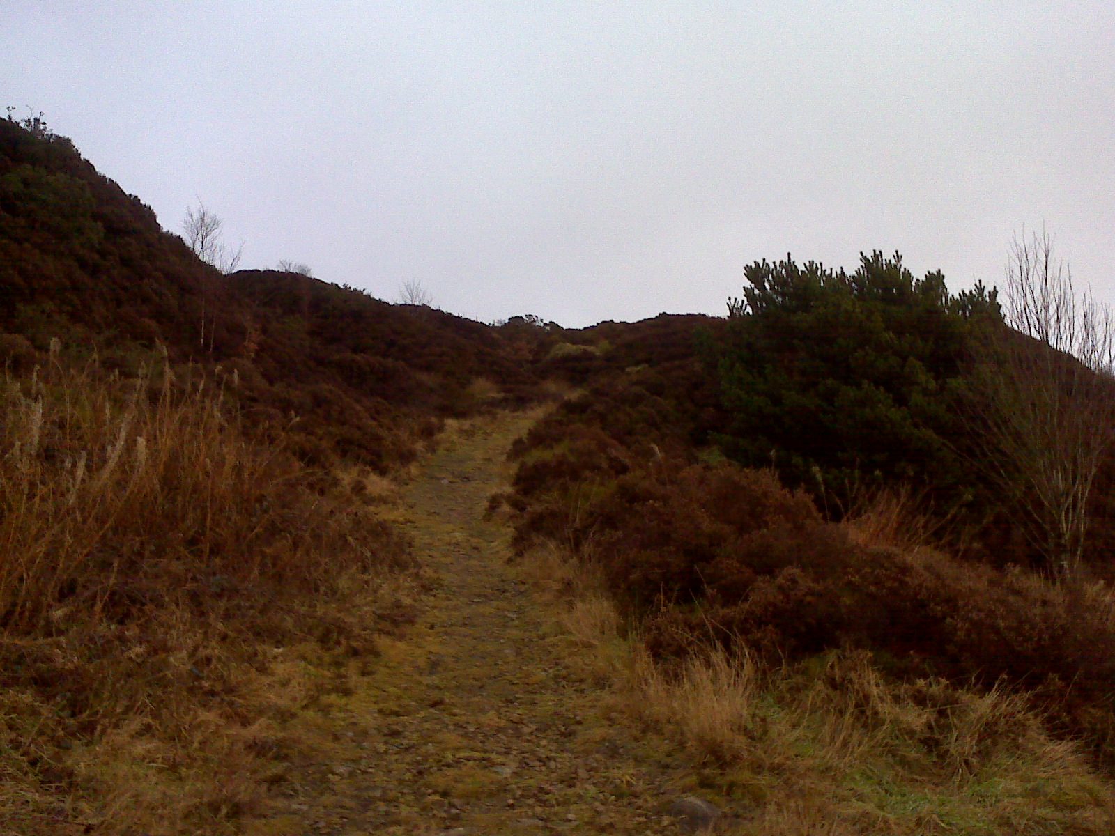
route
3 miles – Wilderswood , Crooked edge Hill ,Two Lads, Wallsuches to New Chapel lane
Jakes blogs for Montcliffe
Jakes Blogs for two lads
Jakes Blogs for New Chapel Lane
note from Dad : Wilderswood – on the left hand side of the wood was shaft number 1 for wilderswood colliery
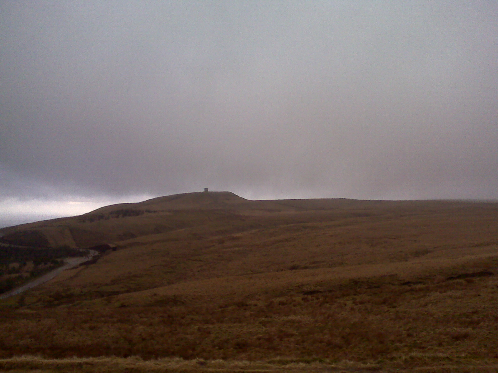
Rivington Pike
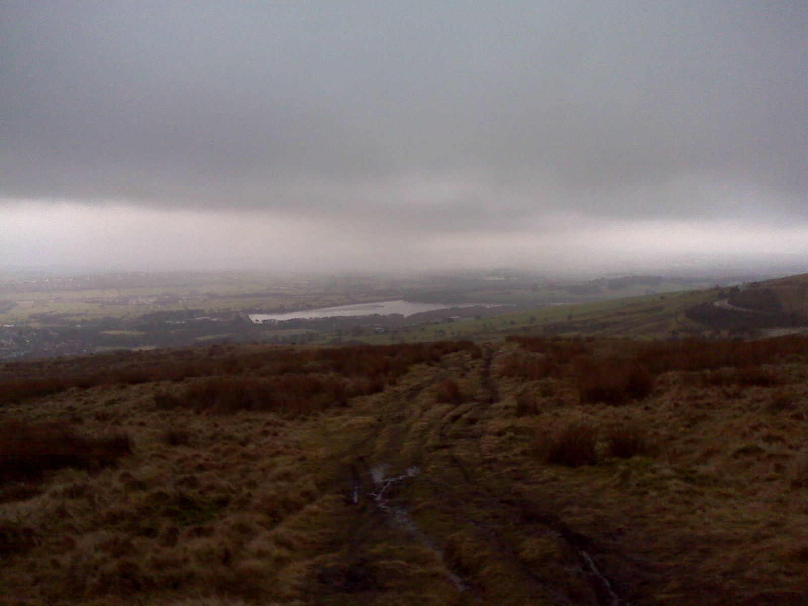
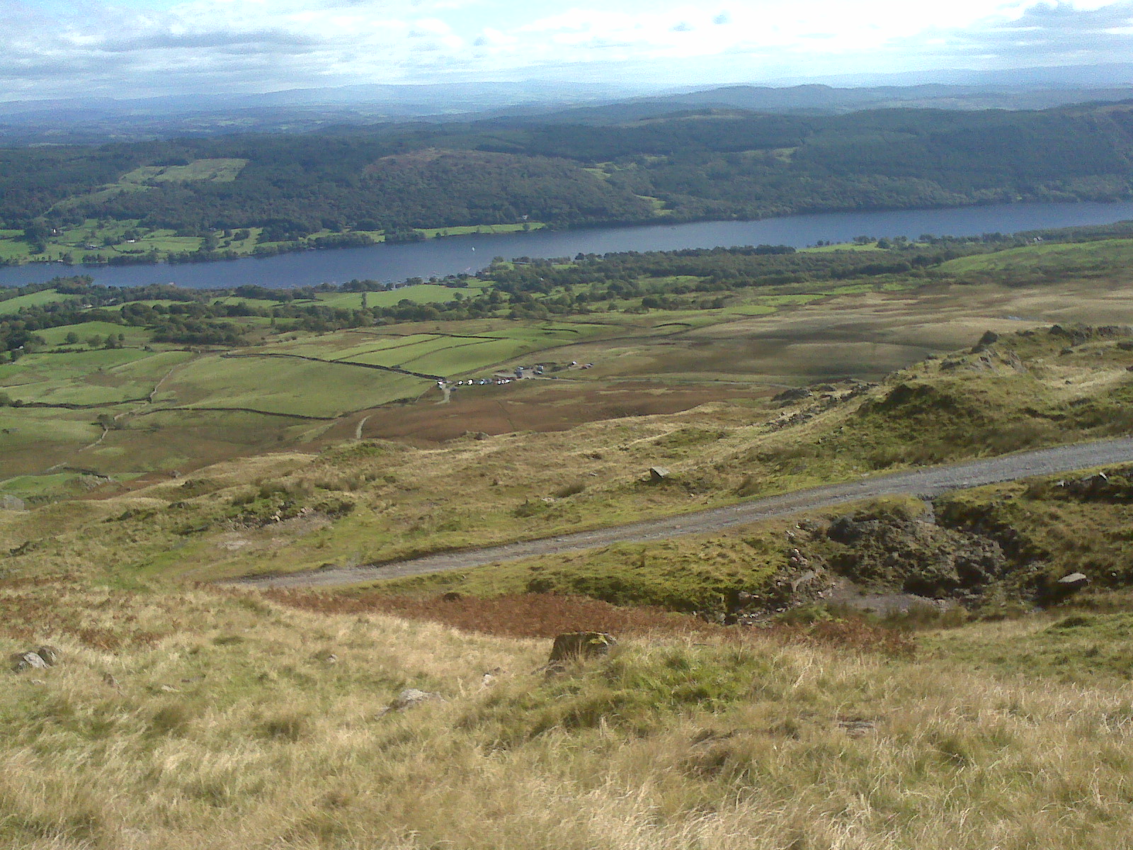
Lower Rivington reservoir

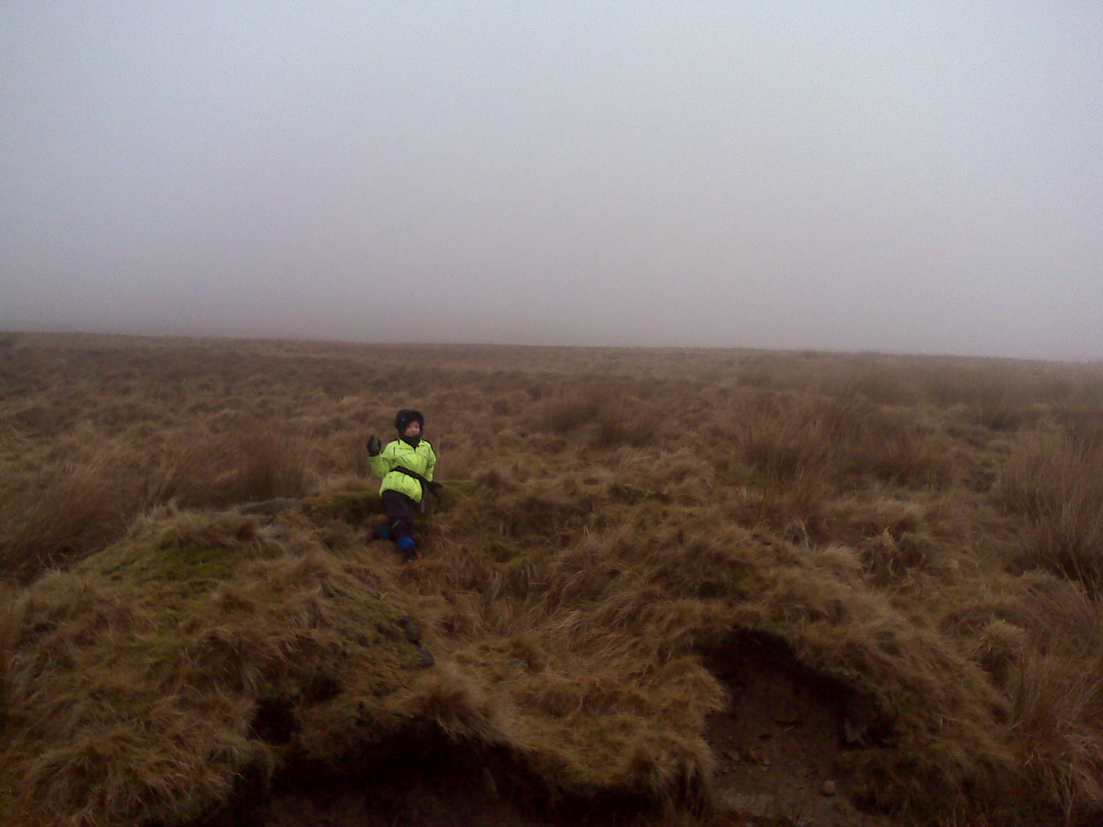
Me in the mist
http://justramblingon.co.uk/history-pages/two-lads-hill/
http://justramblingon.co.uk/history-pages/two-lads-hill/
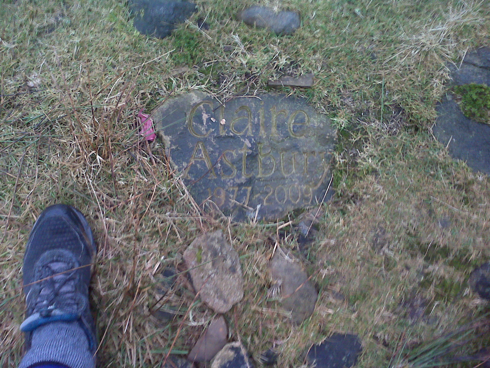
note from dad :Memorial to Claire Astbury 1977 to 2009 which we found just below two lads

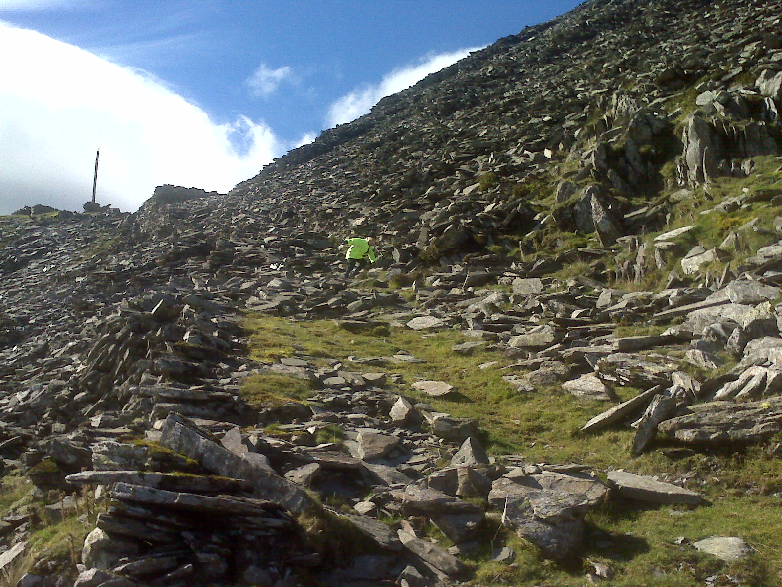
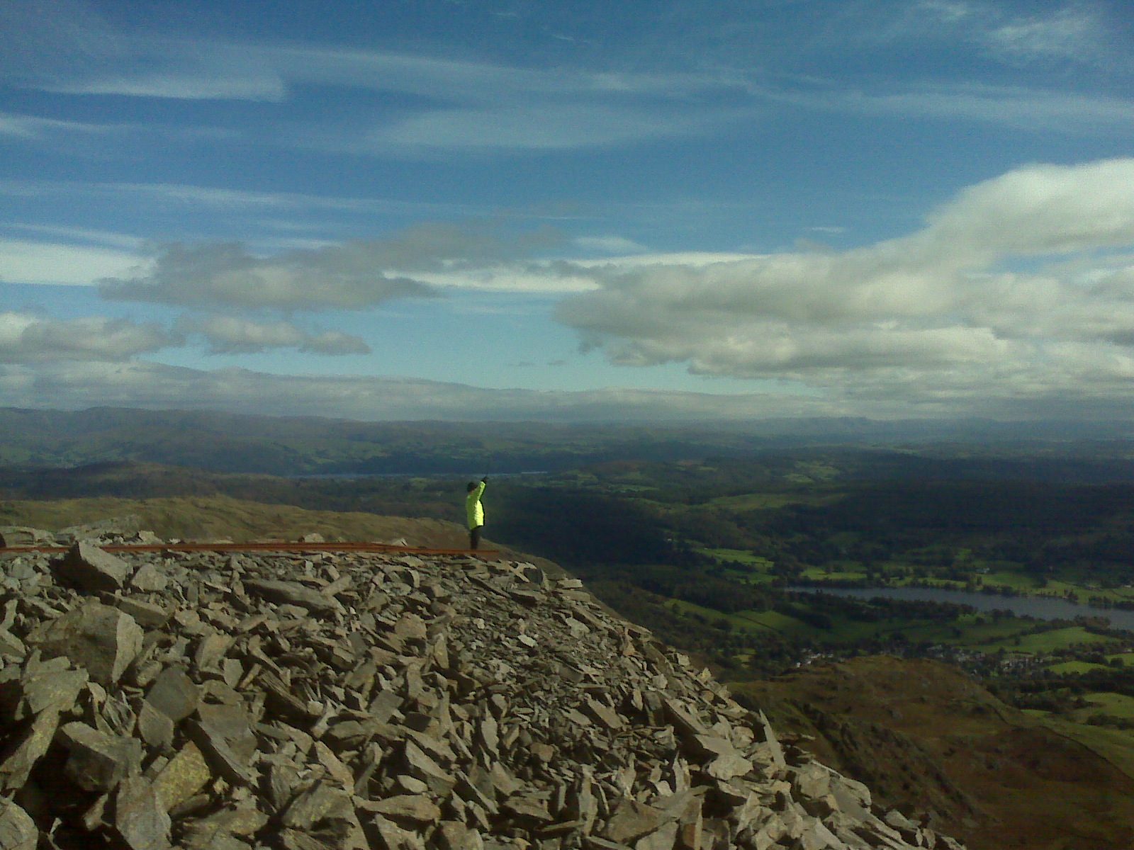
me on top of two lads it was too windy to stay upright safely
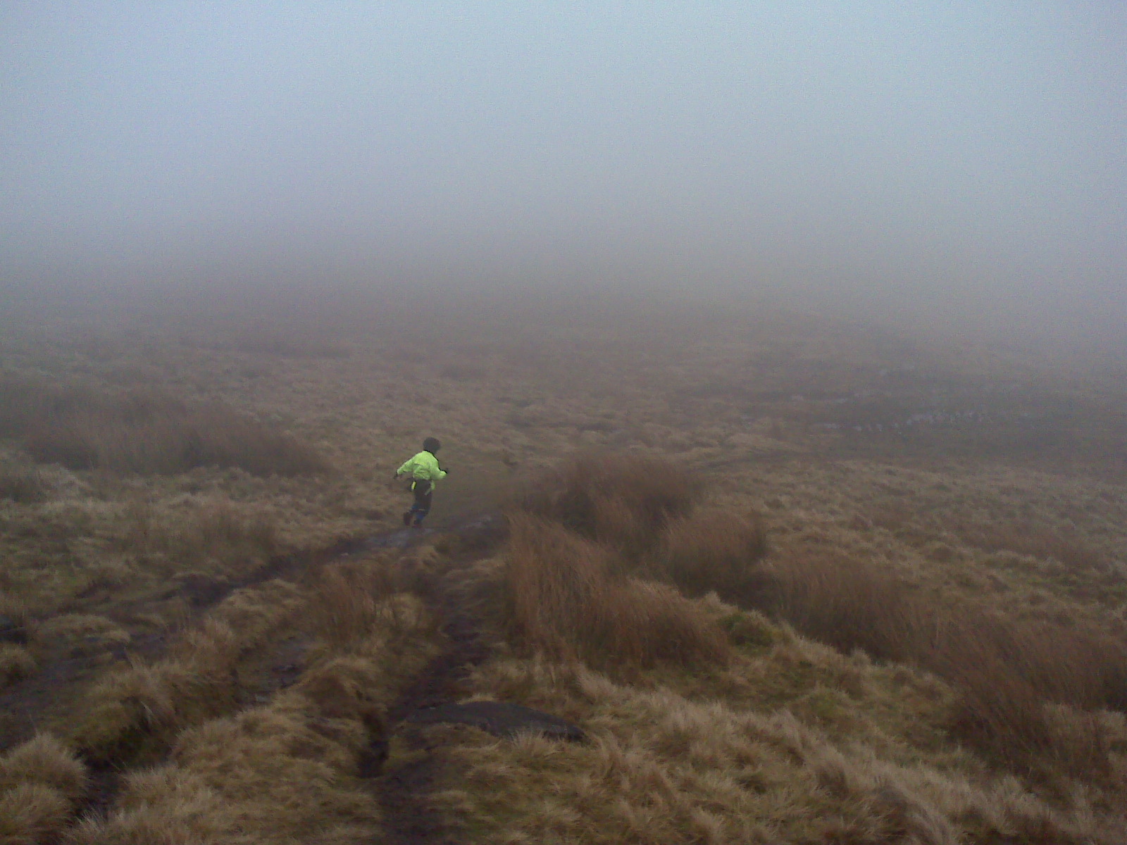
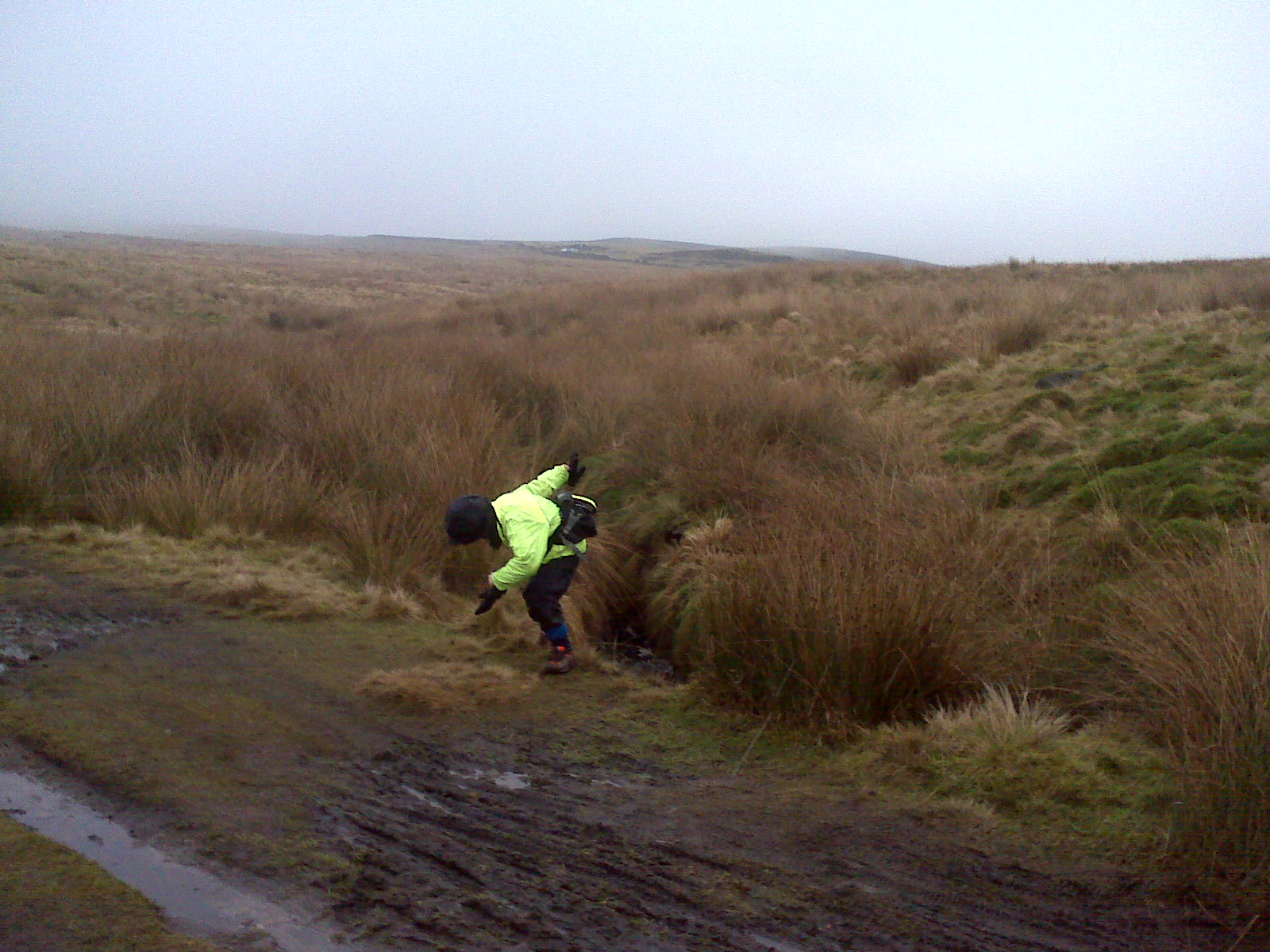
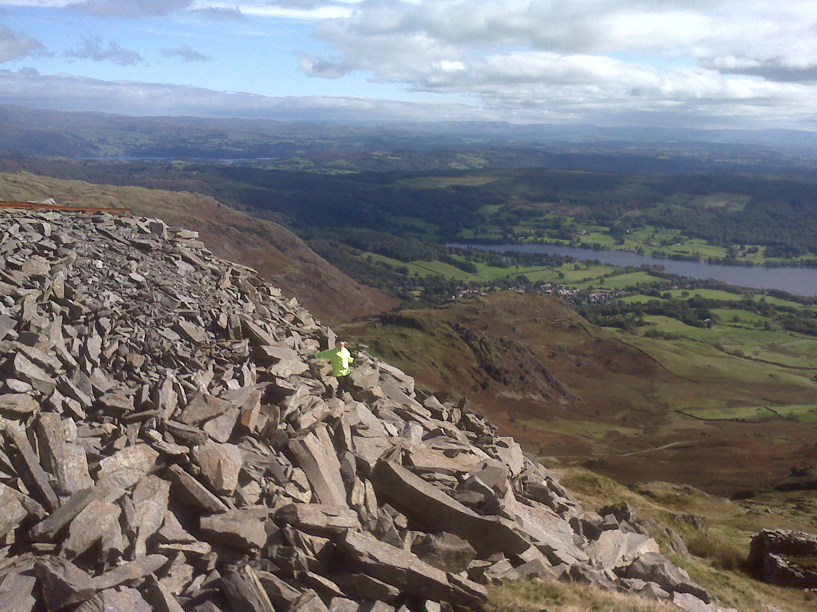
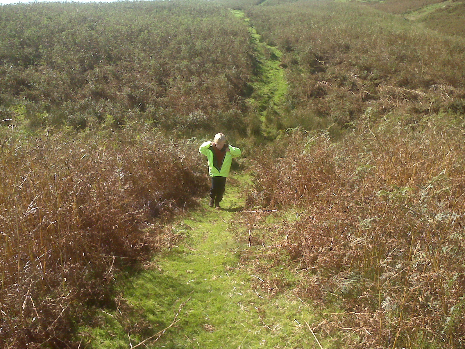
me running down the hill from two lads
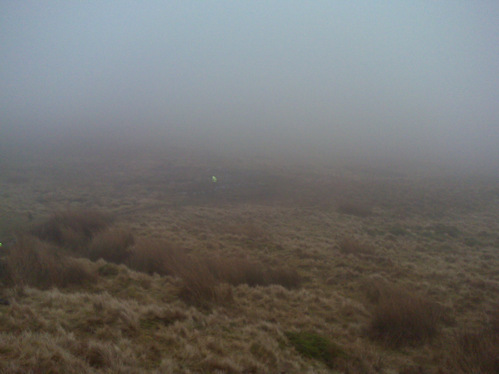
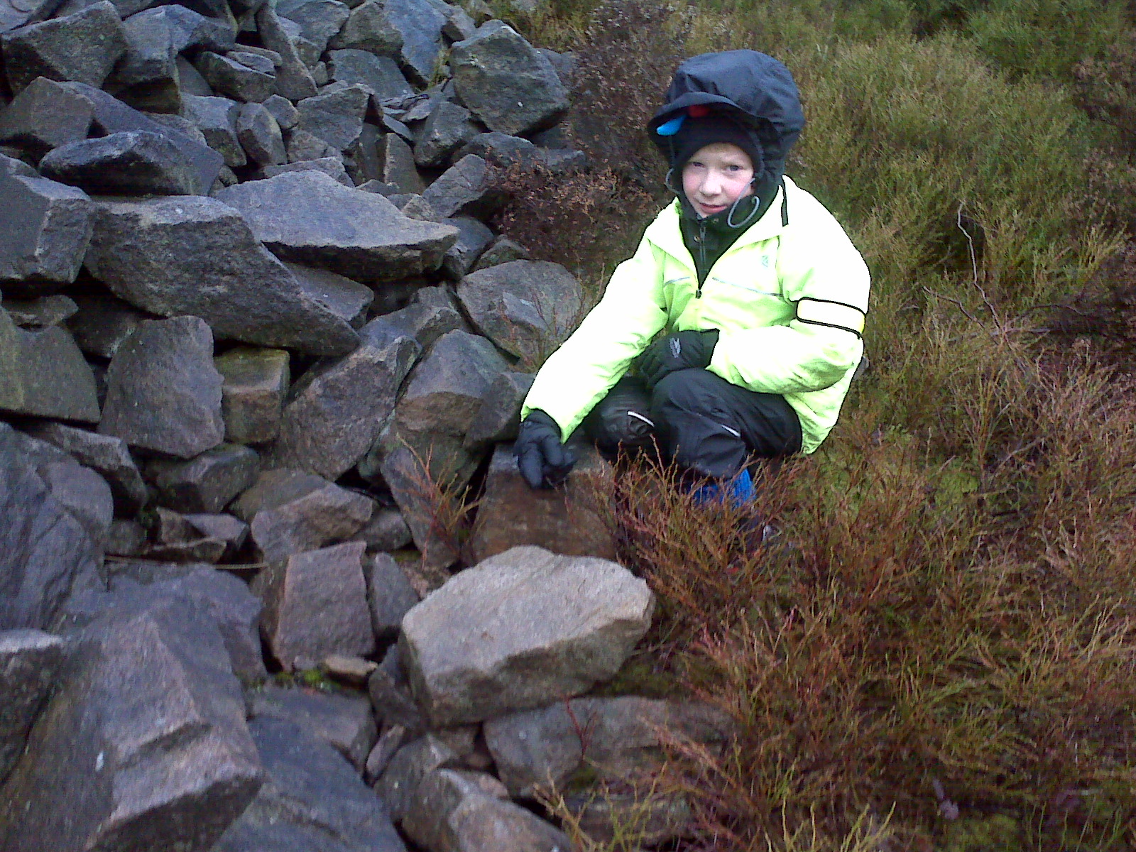
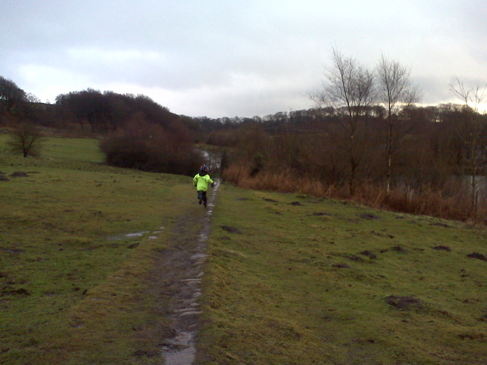
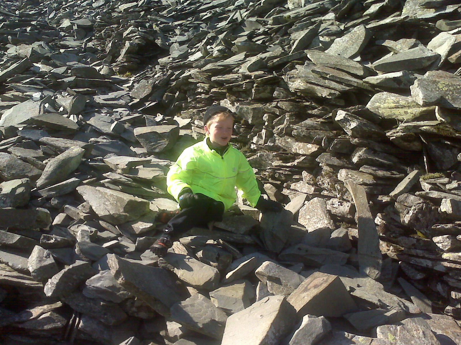
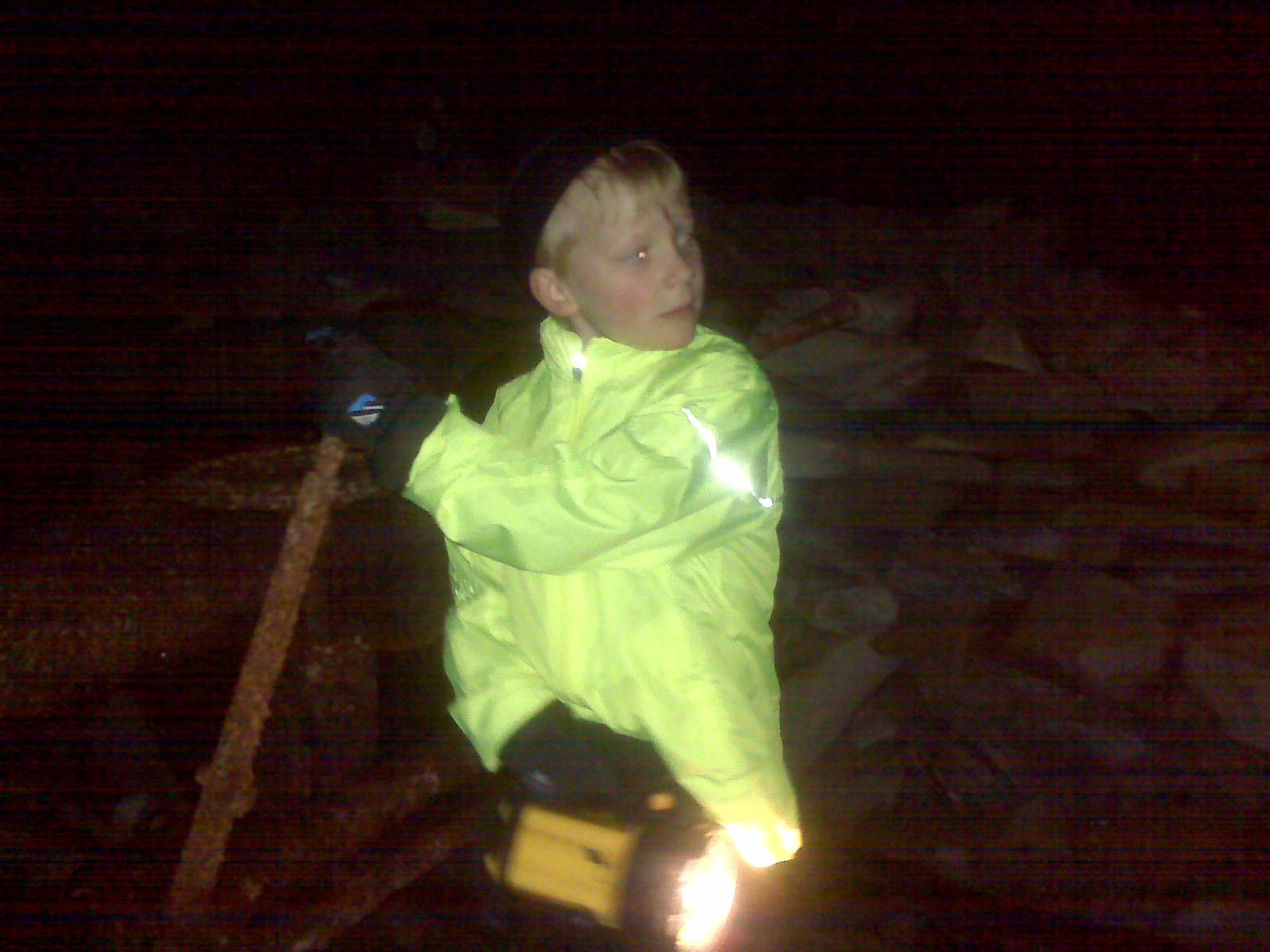
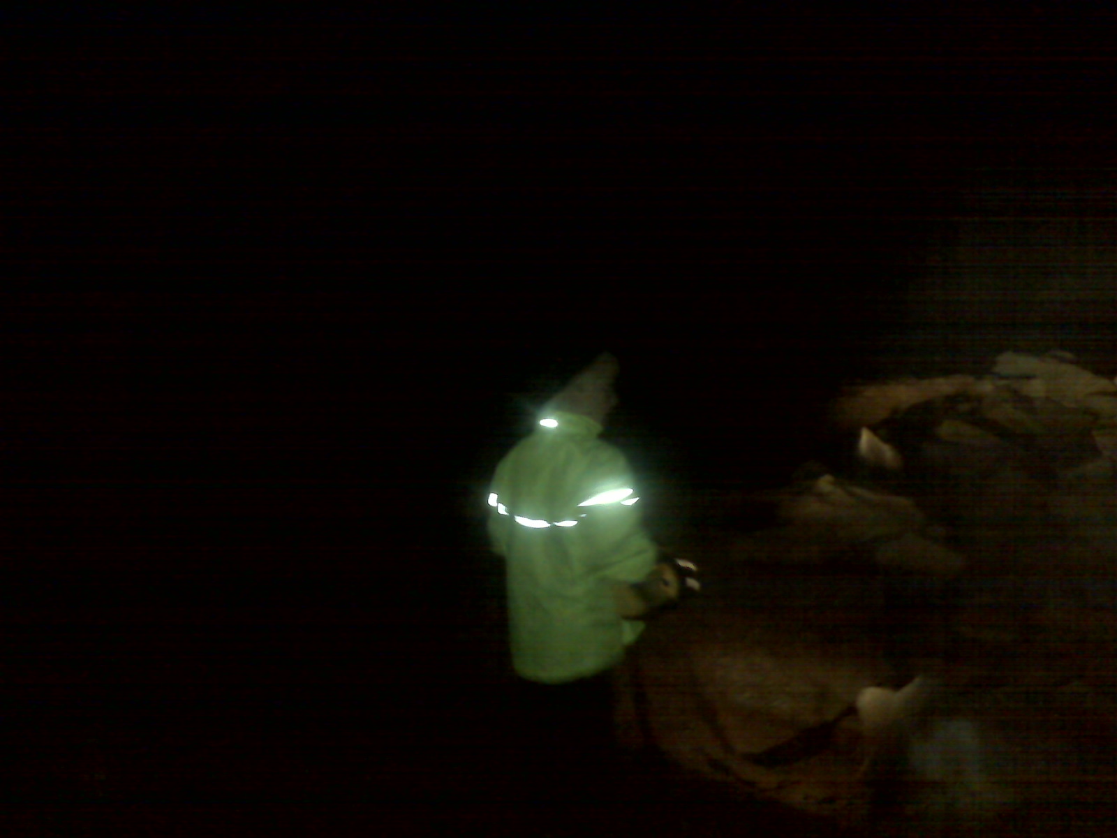
can you find me
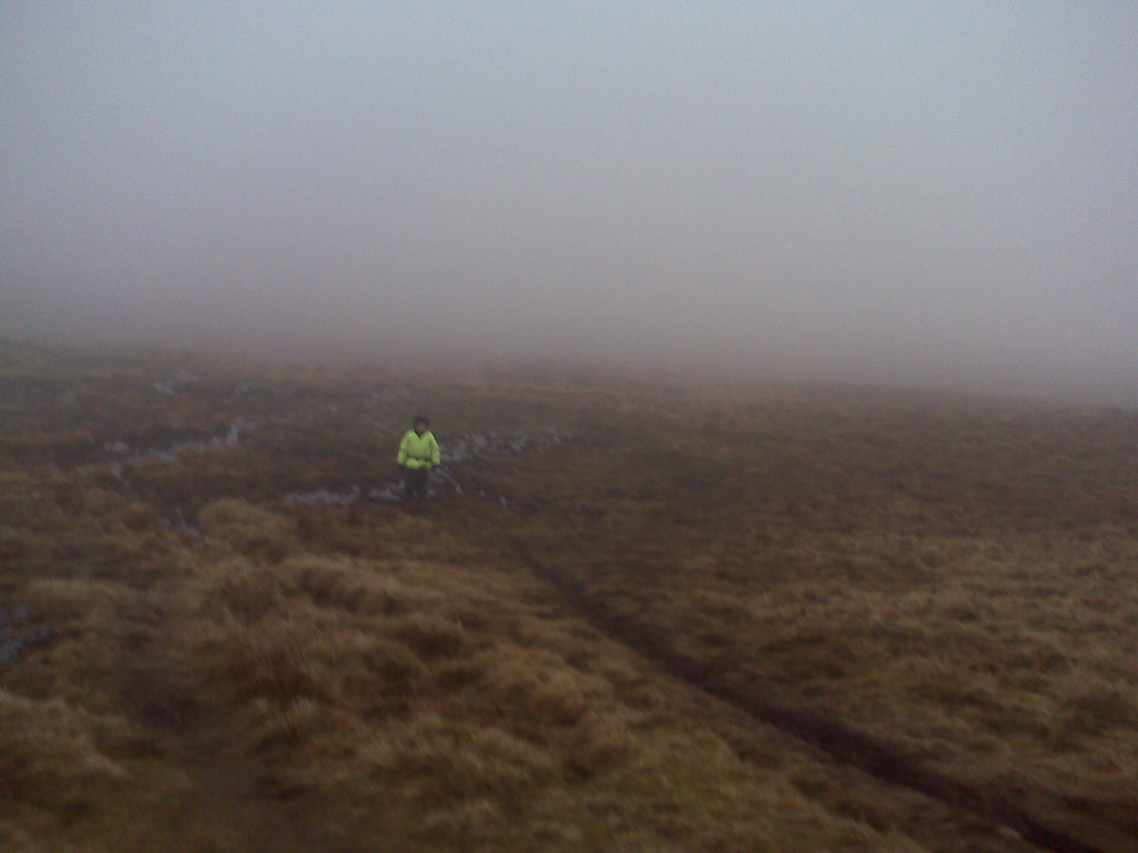
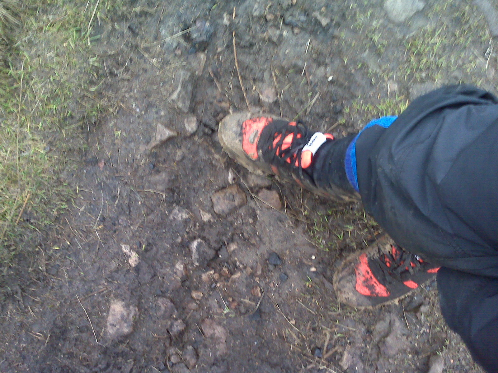
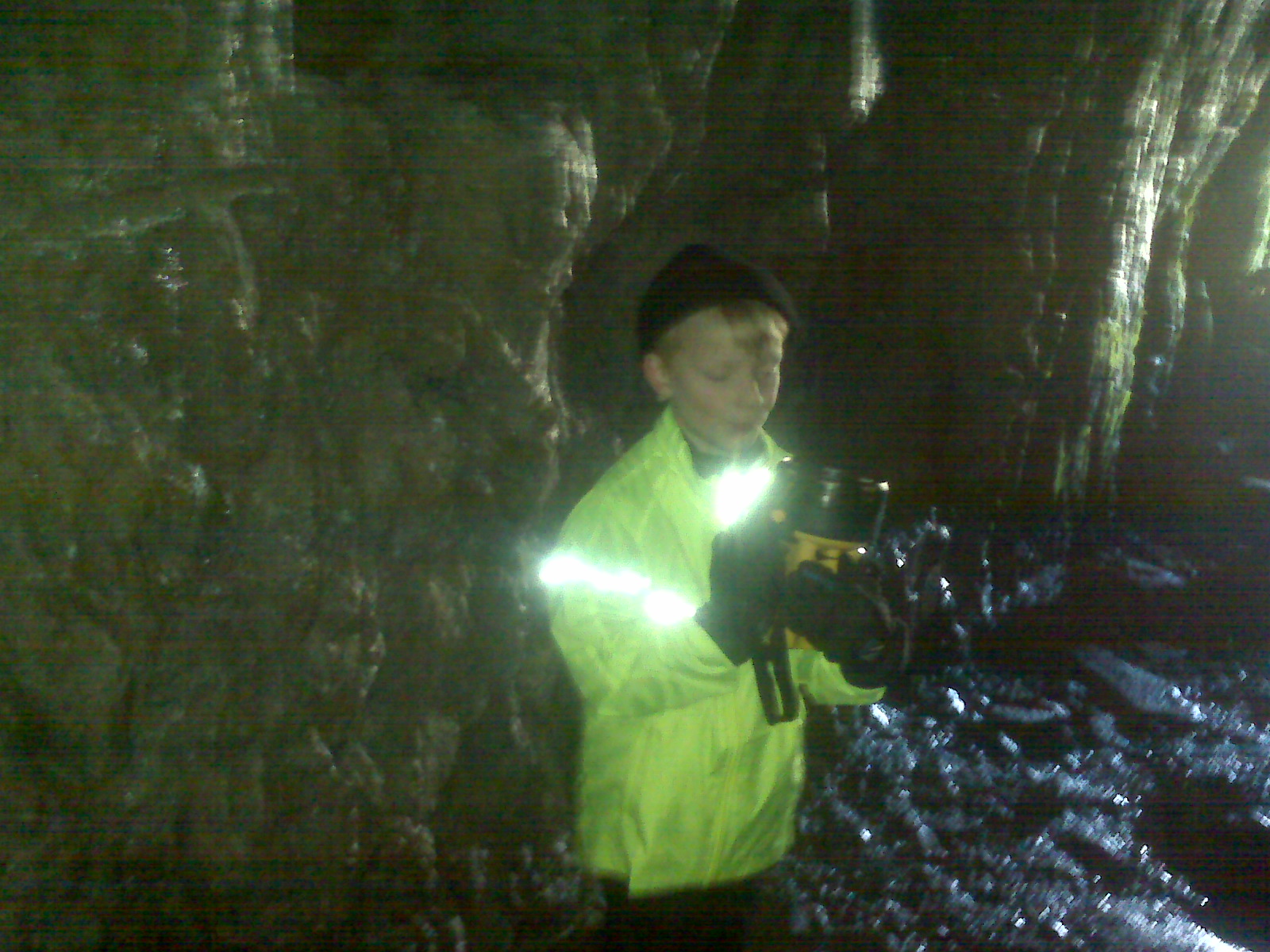
me in the mud
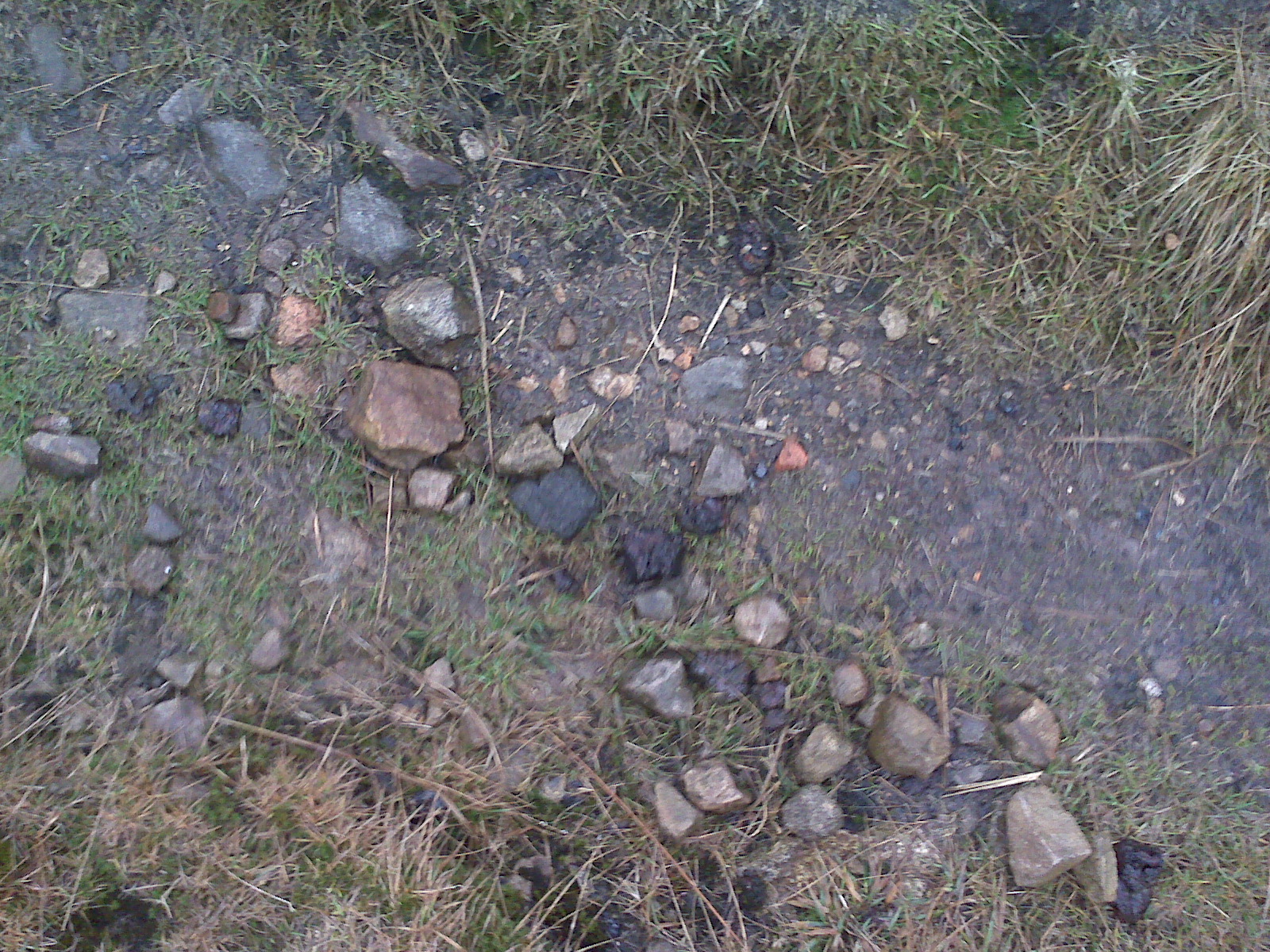
coal on the path , pieces of old brick found on this path
pieces of burnt coal called clinker –
http://www.thefreedictionary.com/clinker
http://www.thefreedictionary.com/clinker
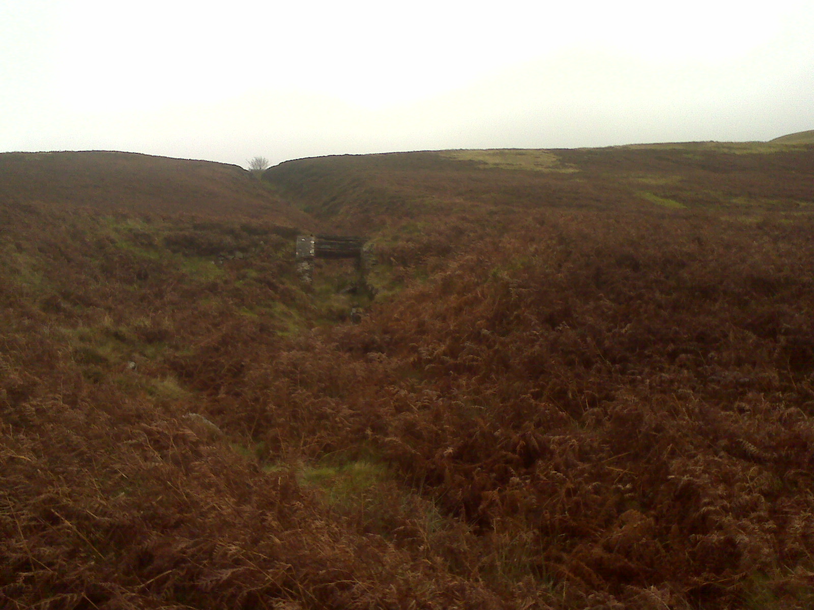
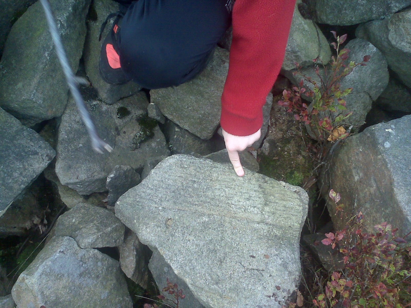
Note from dad :armchair – almost a bell pit shape -side nearest seems to have been washed away!
me climbing out of a stream
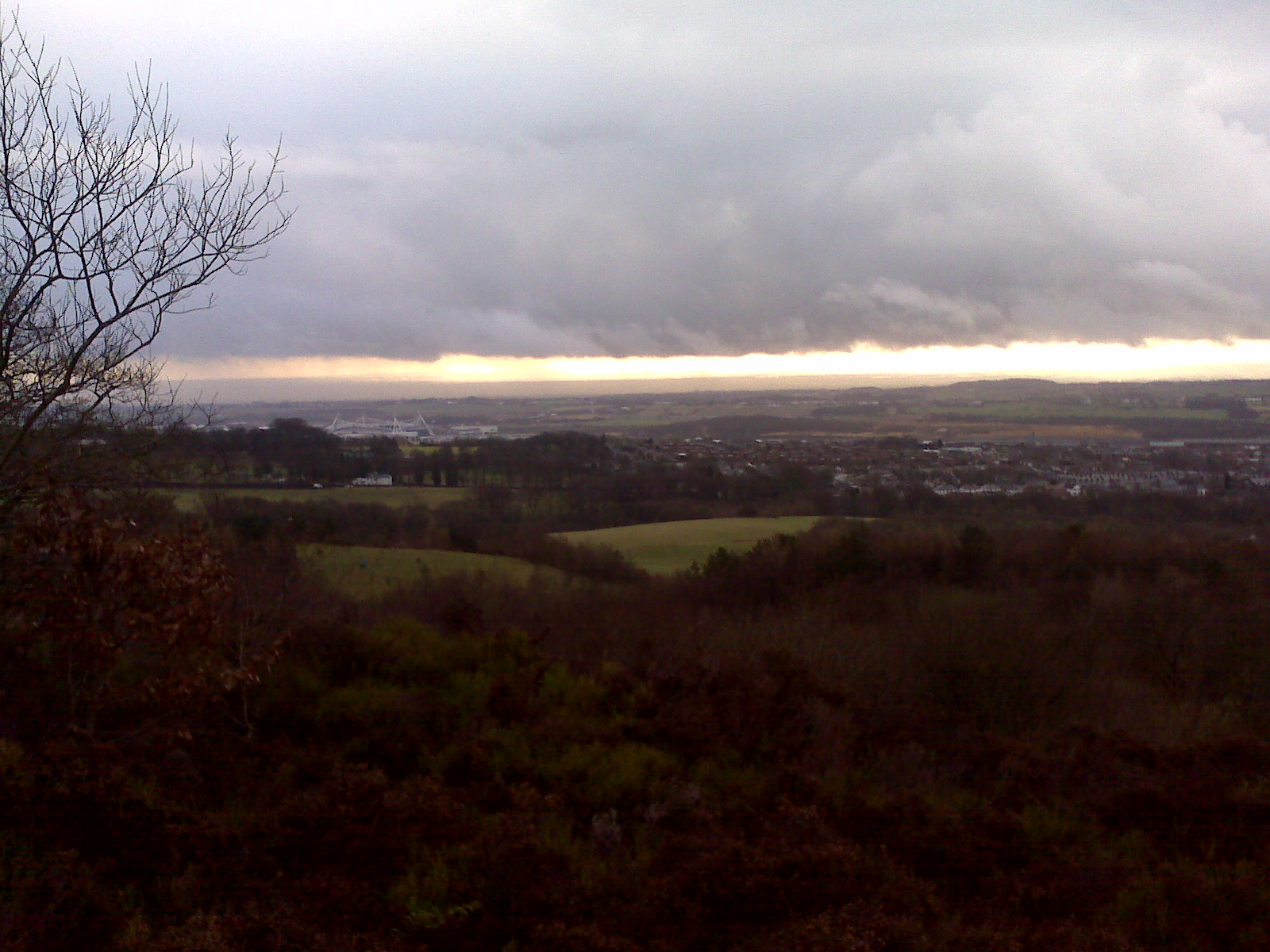
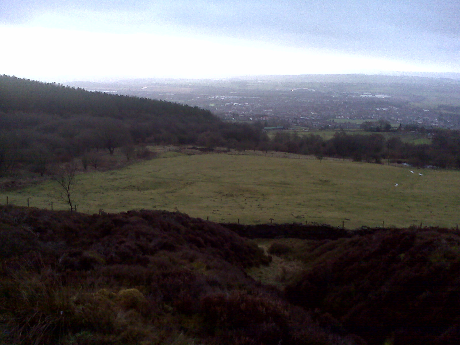
Red Moss , Reebok stadium from Montcliffe
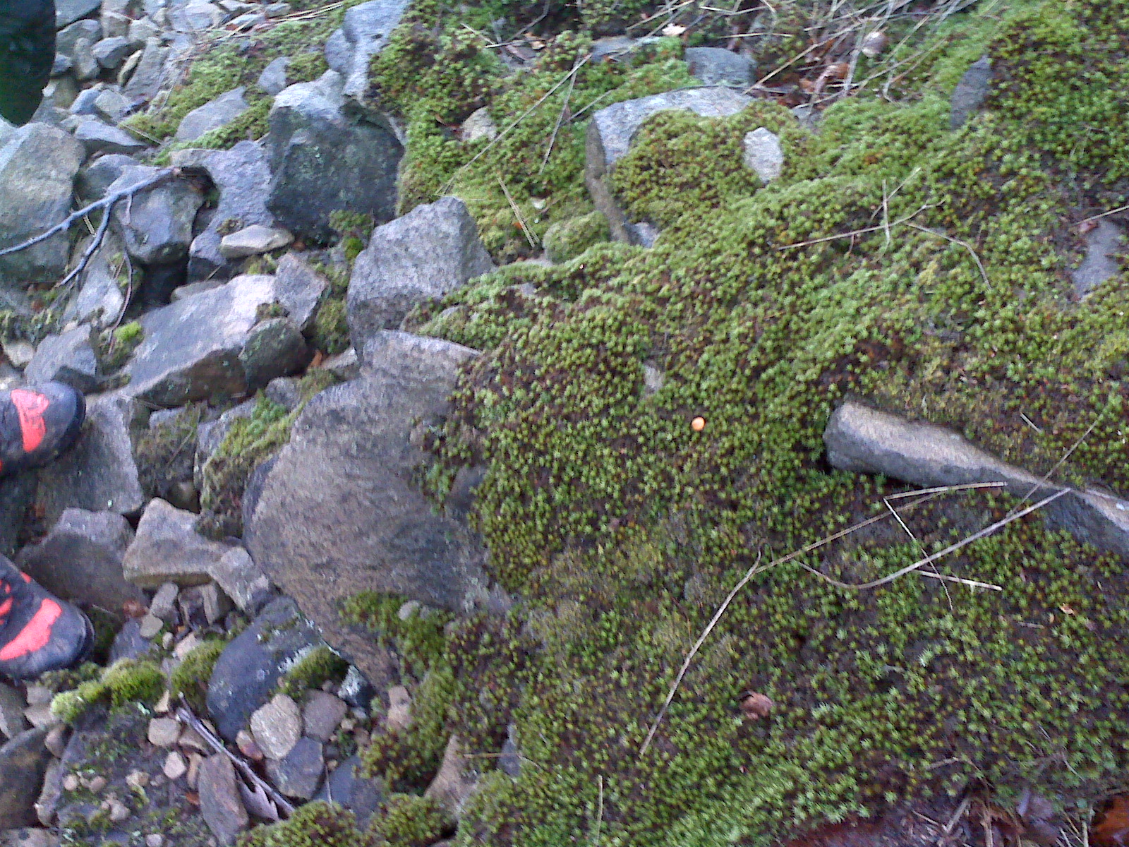
one tiny orange mushroom – can you see ?
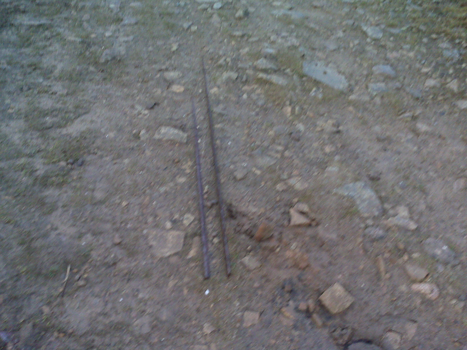
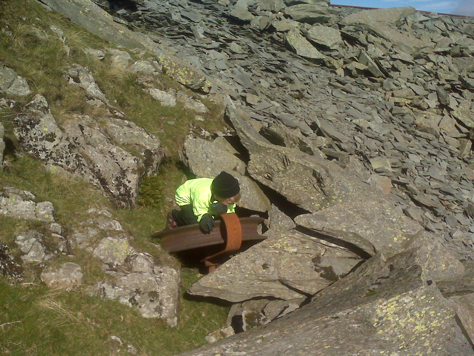
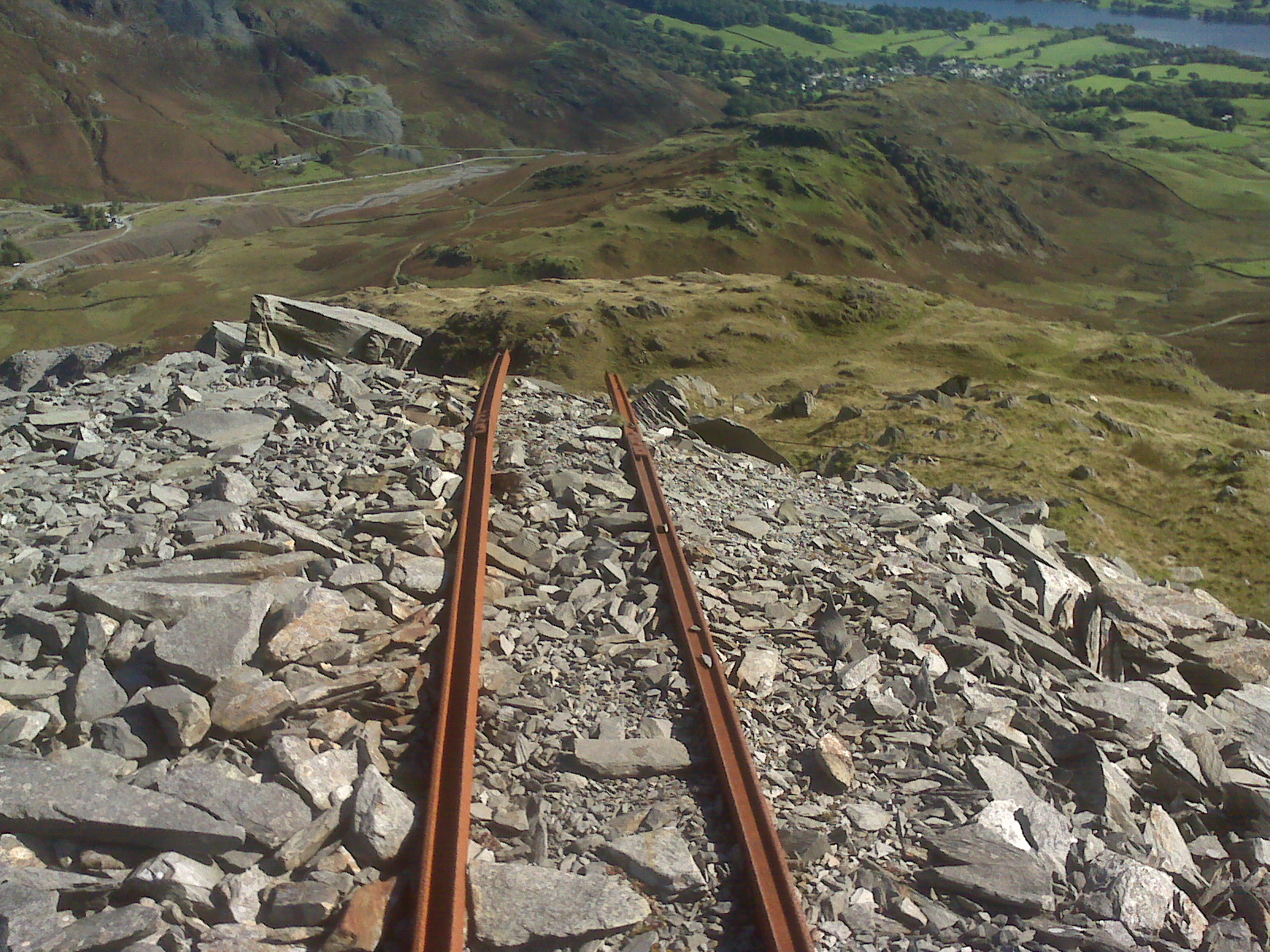
iron rail found on path down from Lower Montcliffe Quarry
fossil which we found last time
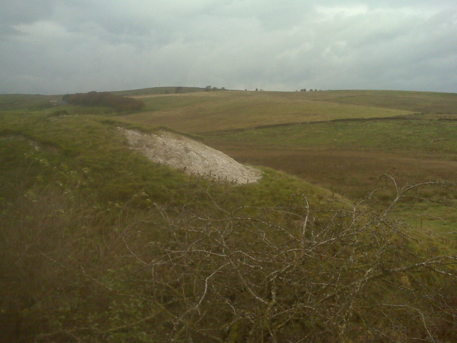
Path up to one of the Montcliffe lower quarries
on the way to the reservoir above the Arcon development on the way to Wallsuches
weather:
visibility went from just under a mile to 15 metres in just under 10 mins
high wind chill factor , sleet some snow and hail ,
enjoy and keep safe when outside
please take care


