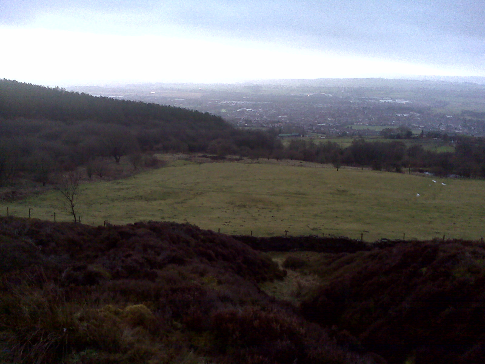
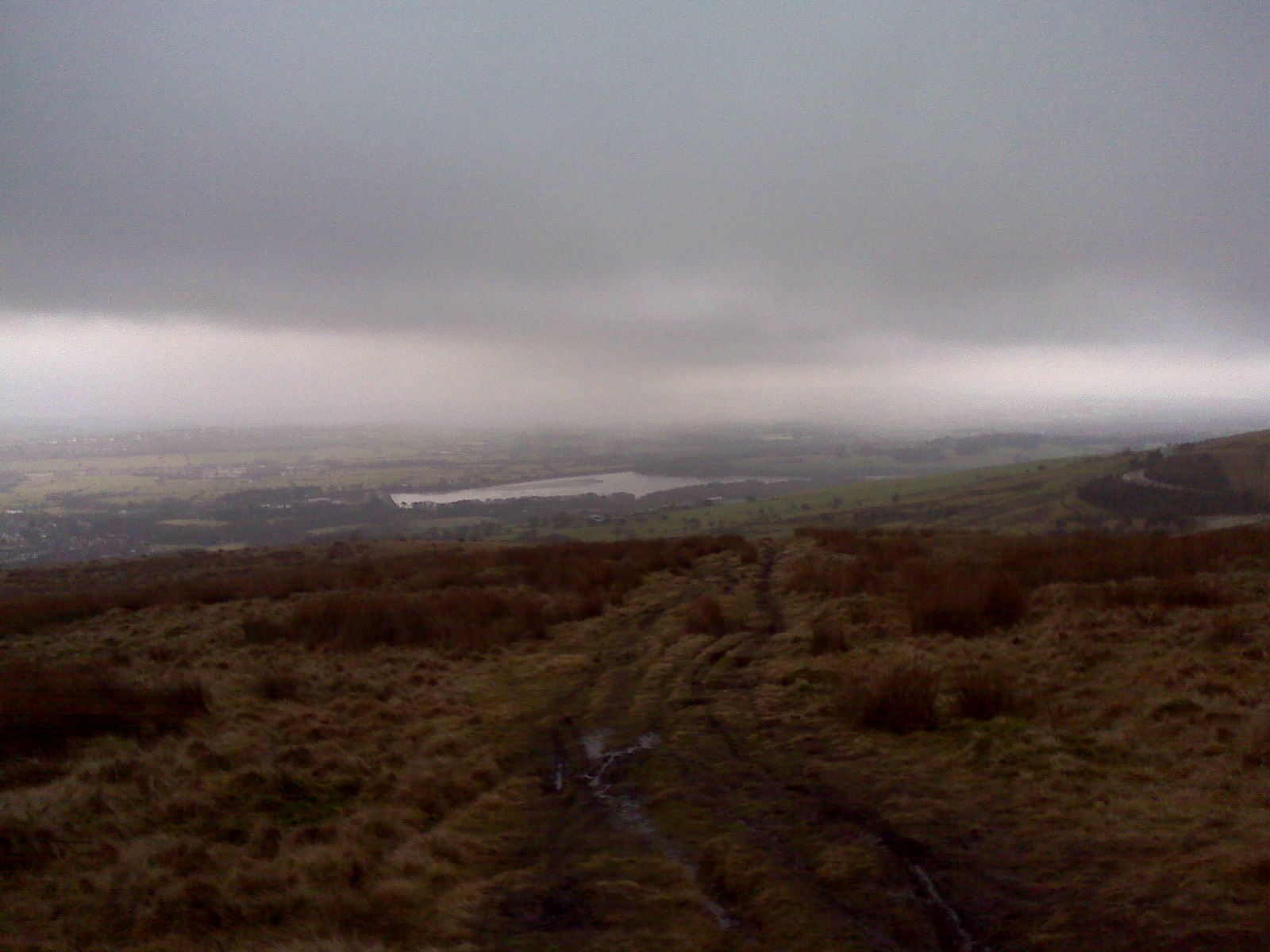
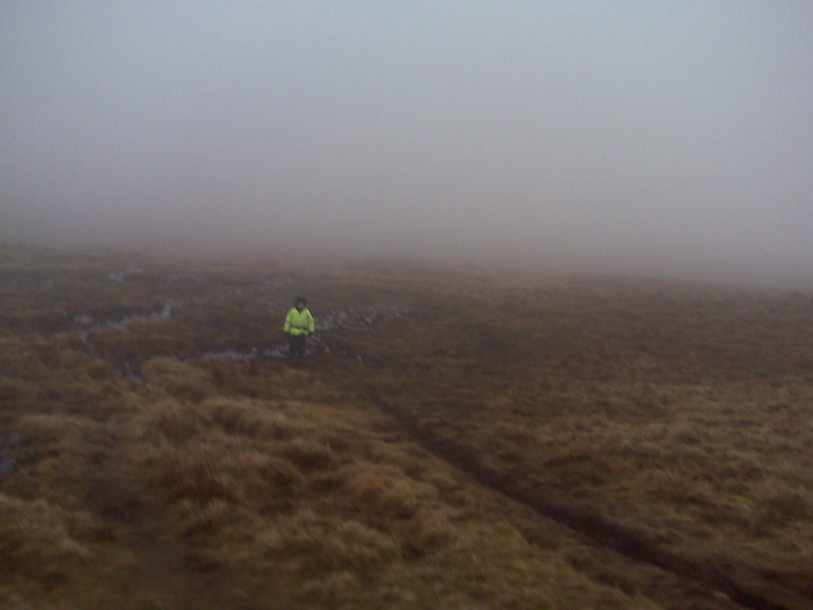
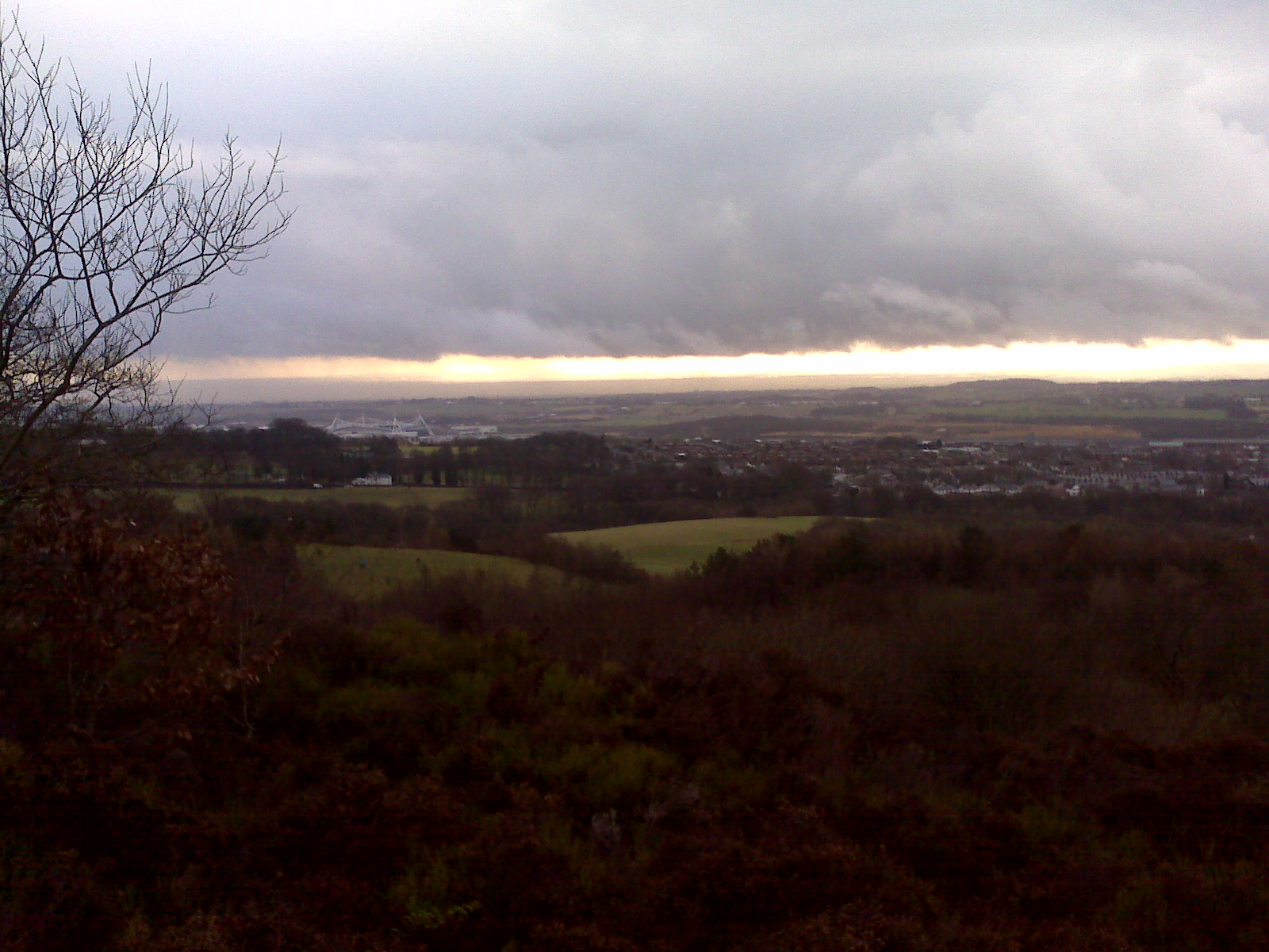
gilligrants farm, we used this view to check the impact of the mist on the route
Note : it was agreed with Jake that I would write this Blog entry for Jake with Jake’s assistance , The route is long and in poor weather condtions – dreich,
http://www.rampantscotland.com/parliamo/blparliamo_weather.htm
http://www.urbandictionary.com/define.php?term=dreich
thanks to a comment by NLM on Jakes Blog entry
http://jakeofwinterhill.blogspot.com/2011/08/my-birthday-i-am-8-years-old-today.html
http://www.halliwell-lhs.co.uk/index.php?option=com_content&task=view&id=97&Itemid=92
http://www.boltonmuseums.org.uk/smithillshall/smithills-history/smithills-country-park/
http://justramblingon.co.uk/country-walks/west-pennine-moors/winter-hill-and-smithills-moor/
http://www.stpetersbelmont.org.uk/index.php?option=com_content&task=view&id=149&Itemid=65
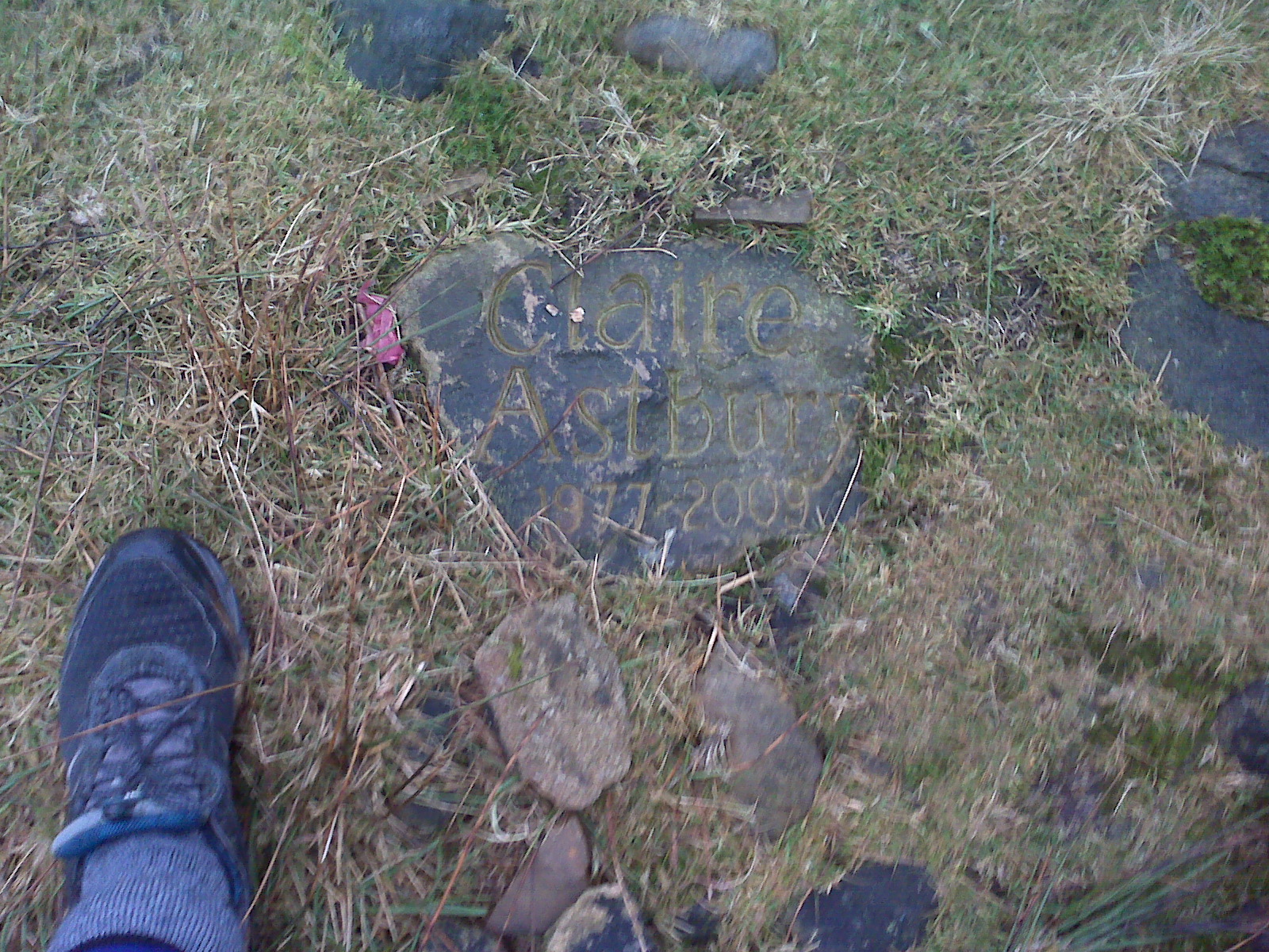
background to the Scotsman’s stump murder
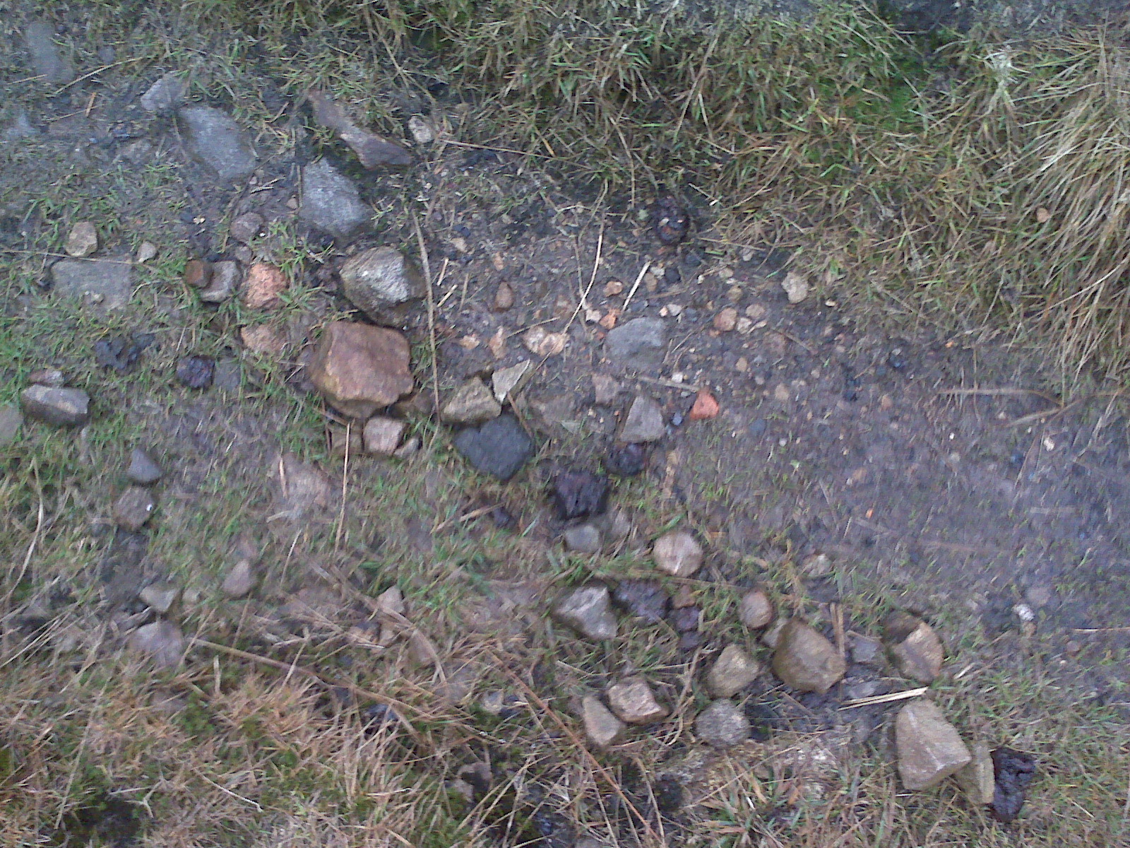
This path is the original coal pit track
“It is not widely known that a mass trespass took place on Winter Hill in
1896 nearly 50 years before the more famous mass trespass on Kinder
Scout in 1832. It was the response of the people of Bolton to the closure
of footpaths and roads over Winter Hill by the landowner Colonal R H
Ainsworth JP of Smithill’s Hall, in order to protect his grouse shooting.
The demonstration followed much controversy and demands for an
enquiry, which were resisted by Col. Ainsworth. The organisers called on
the people of Bolton to join them in a walk from Smithill’s Hall, along
the disputed Coal Pit Road track to Winter Hill on Sunday 6 th September 1896.
taken from Dave Lanes excellent resource
http://www.d.lane.btinternet.co.uk/whvol1.pdf
up towards dean mill reservoir
old dam breech
http://jakeofwinterhill.blogspot.com/search/label/dean%20mills%20reservoir
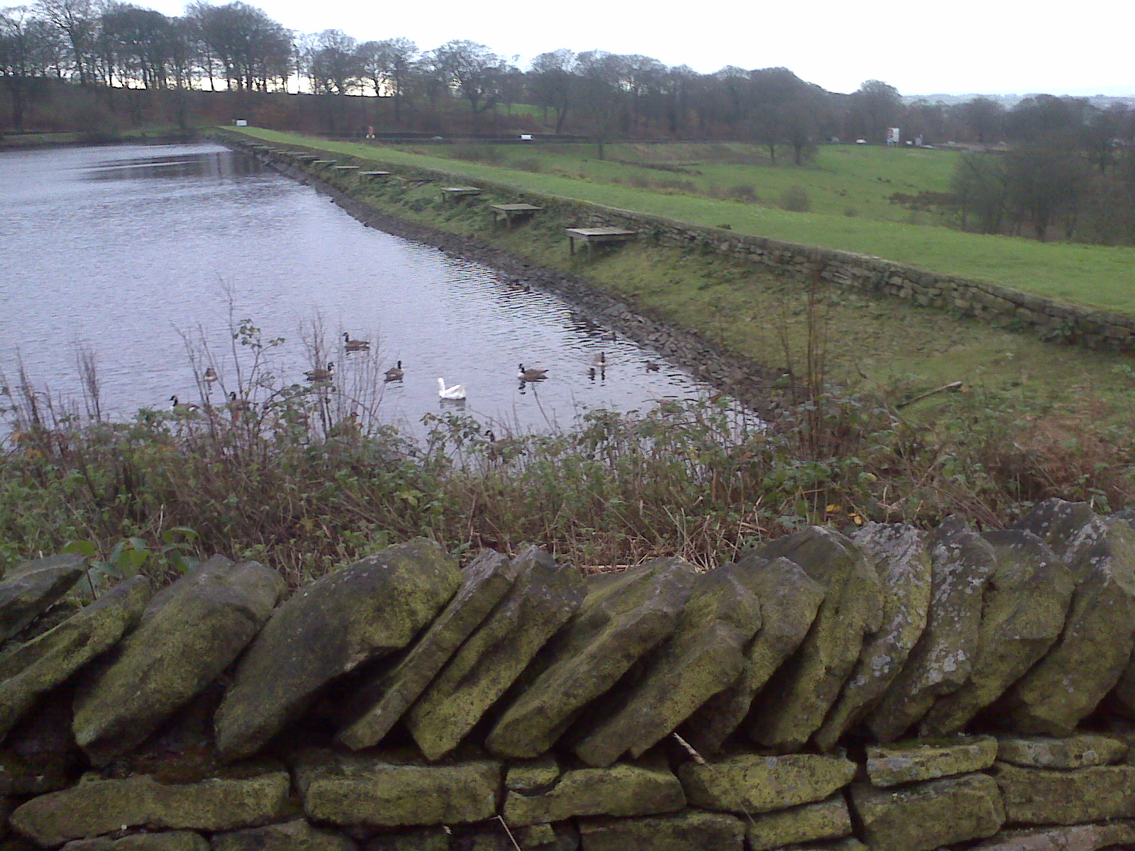
dean mills reservoir
http://about-rivington.co.uk/places-in-britain/location/reservoir-of-dean-mills/winter-hill/lancashire/england/
http://justramblingon.co.uk/country-walks/rivington/walking-the-dean-ditch/
part of the water inlet system feeding the water tunnel
valves for the water tunnel down to dean mills
on my way to dean ditch
Dean Ditch.
From the mast heading eastwards towards Horrocks Moor and Scout
Road is the seemingly endless drystone wall which was built to mark the
municipal boundaries. On modern maps this is marked as the County
Constitutional and Metropolitan District/European Constitutional and
Borough boundary. The wall is quite a feat of engineering and must have
taken some considerable time to build. It seems to vary in height between
six and seven feet for its whole length of almost 3 kilometres. There are
few quaries near the hill top and although rocks can be found on the
surface the bulk of the material to make the wall must have been carried
up the hill. I have not spotted any gates or breaks in the original wall
although parts of it are now in a fairly poor state.
The drystone wall follows the route of an ancient ditch which although
today is known as Dean ditch, it was originally called Dane or Danes
Ditch. A number of place names in this area indicate that the Danes once
settled in this part of Lancashire (and don’t forget the Scandinavian stone
axe found in Tigers Clough dating from before 2,000BC) and from pollen
analysis we know that much of the deforestation of the moor took place
around this period so perhaps the name Danes Ditch may not be too wide
of the mark. The ditch is not visible for the full length of the wall but
even when it vanishes, its route can be traced through the slightly
differing colour of the vegetation seen at certain times of the year.
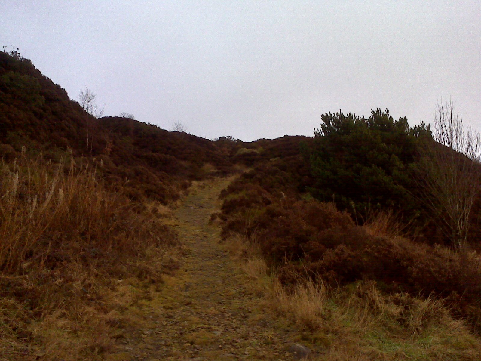
A footpath runs along the full length of the wall and the panoramic views
available on clear days makes this a good place to stretch the legs. The
path starts at the stile at the side of the most south easterly of the antenna
masts. Within a few yards of the stile a depression can be seen on the left
hand side of the path heading towards Belmont. This marks the route of
the collapsed underground tunnel, known as the “New Tunnel” which
starts lower down the hill. Just over the wall on the Horwich side – and
according to old maps (SD 66356 14536), there used to be an adit or drift
entrance to this area of the coal workings but there is very little sign of it
today. Near to the site of the adit entrance can be seen many areas of
disturbed ground all caused either by surface coal workings or by
collapsed workings beneath.
taken from Dave Lanes excellent resource
http://www.d.lane.btinternet.co.uk/whvol1.pdf

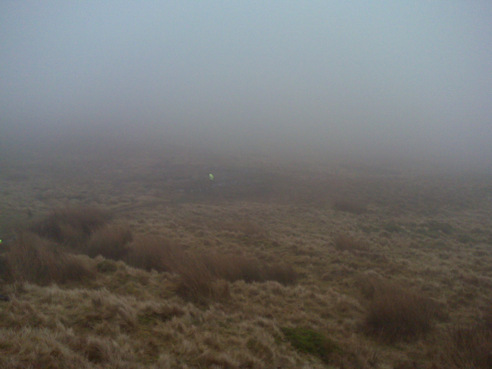
Mist and rain rolling in !
Dean Ditch
more water
http://www.megalithic.co.uk/article.php?sid=7811
http://www.megalithic.co.uk/asb_mapsquare.php?sq=SD
http://www.halliwell-lhs.co.uk/index.php?option=com_content&task=view&id=58&Itemid=92
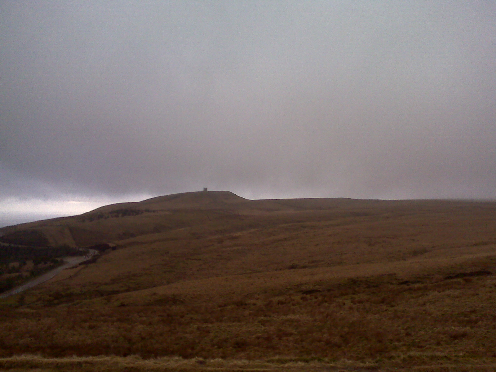
above is counting Hill
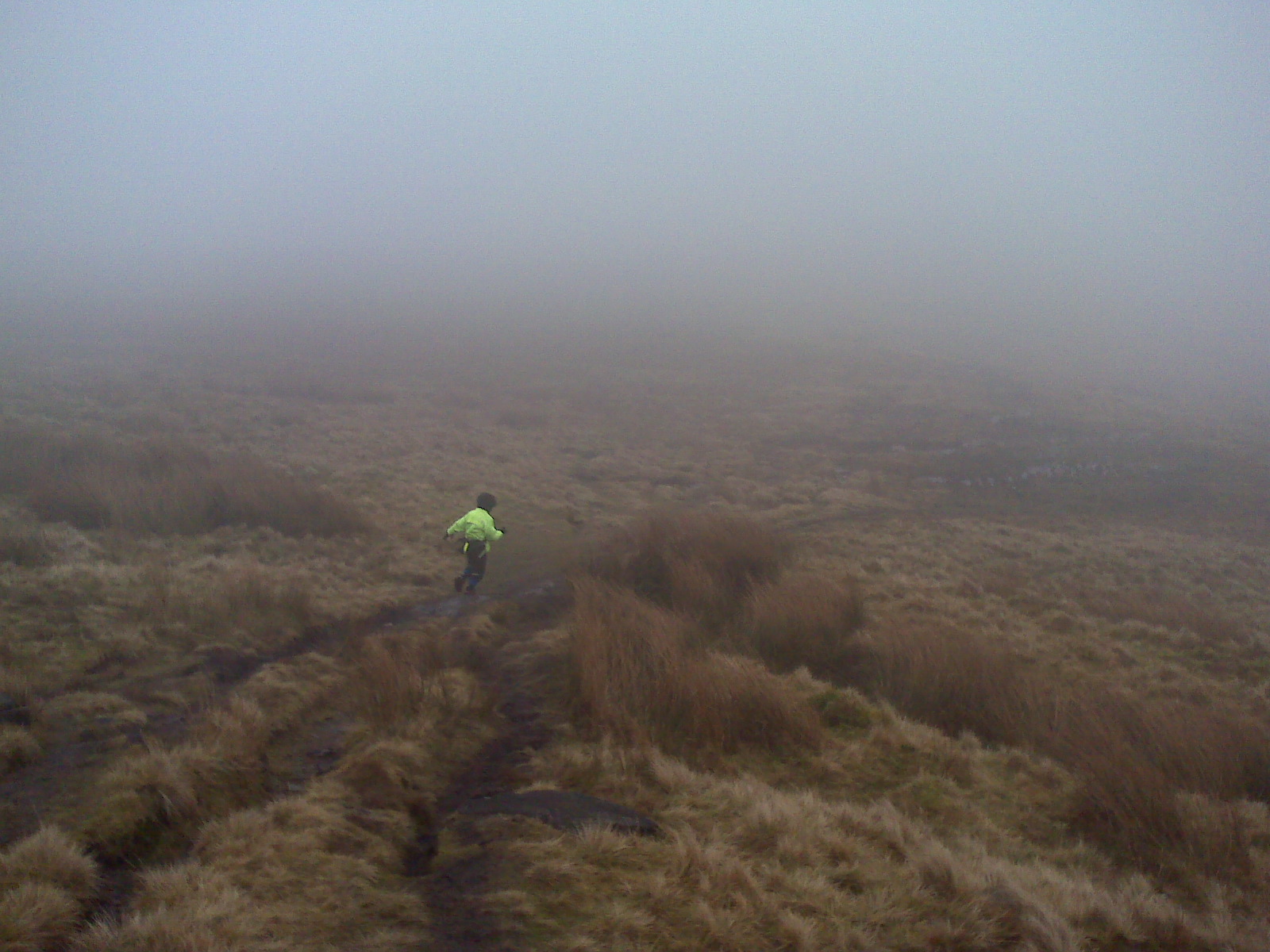
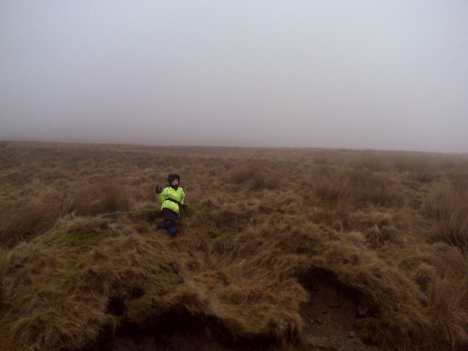
Jake is close to the wall here and close to my limit of where I feel comfortable,
Jake knows to stay still and use his whistle , strobe lights to make himself known ,
he also knows to use his mobile phone, walkie talkie to get voice contact with myself
Jake also knows how to use the features on winter hill to get himself off the hill by dropping height safely ,
even though jake knows this environment well , we both treat it with respect , familiarity does not mean contempt ,
water , more water
driving rain and lower visabilty up ahead
one hat
two hats plus waterproof trousers
Winter Hill trigg – I am standing on this ! very atmospheric ,
https://jakeofwinterhill.files.wordpress.com/2011/08/dscf3808.jpg
the last time i did this
http://en.wikipedia.org/wiki/Winter_Hill_(North_West_England)
http://www.lancashirewalks.com/WinterHillArchive.pdf
http://jakeofwinterhill.blogspot.com/search/label/winter%20hill%20mast
http://en.wikipedia.org/wiki/Winter_Hill_transmitting_station
http://www.aerialsandtv.com/winterhilltx.html
http://tx.mb21.co.uk/gallery/winterhill/index.php
http://www.thebigtower.com/live/WinterHill/Index.htm
see the stats for the mast
http://www.thebigtower.com/live/WinterHill/131P20600705070.htm
http://jakeofwinterhill.blogspot.com/search/label/Two%20lads
Jake on top of the two lads !
Two Lads after Jake had left
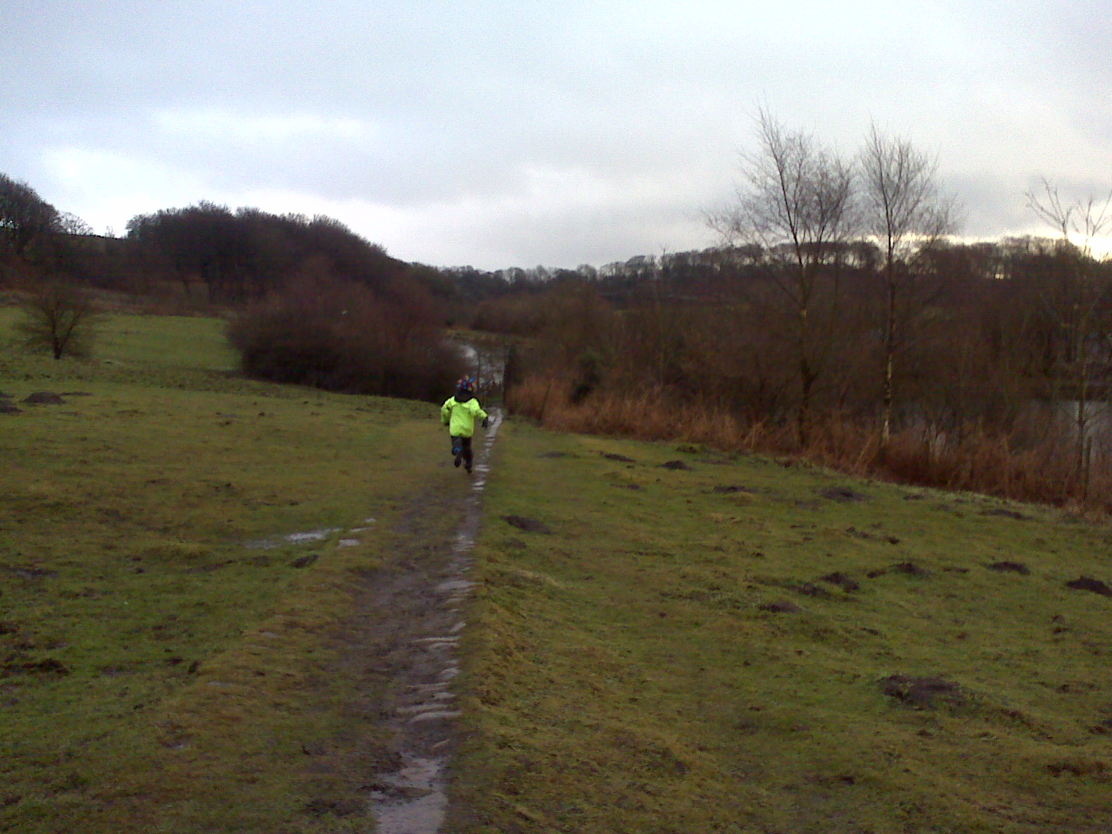
down towards wilderswood
running down from the two lads
doorway at Wildersmoor
This is wilderswood – mine vent is the tallest of the two poles on the left had side
Montcliffe Quarry 1st
second quarry
just before you enter Arcon Village steps the gate must have been closed most of the time to take so much trouble plus they are very worn
just above Arcon Village
Walsuches
nearly home !
Jake in the dark – taken under some trees when we were running ,
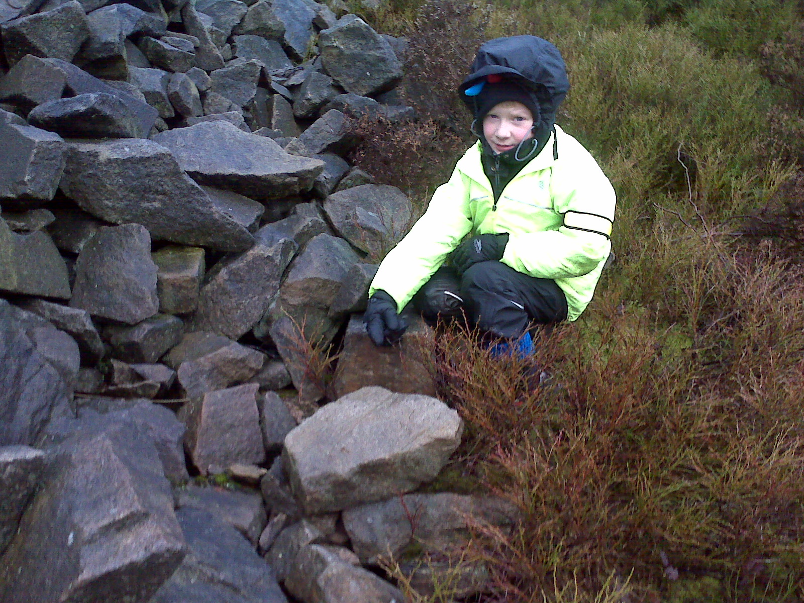
Jakes Jacket has reflective strips on it so does the bum bag he has on this is combined with the reflective vest adds to safety aspect, either side of jakes reflective vest are two hi viz strobe lights one rated at 1 mile plus Jakes safety kit – spare torches, whistle, gloves(waterproof), map/compass. food, reflective blanket, he has a GPS tracker on him plus a proximity alarm set to go off after the safety zone distance from me is breached, a mobile phone,
we switched to Jakes winter grade waterproof for this run as a precaution due to the weather conditions,
I carry further spares – for Jake, spare hat, spare winter grade socks thicker fleece zip in or stand alone, spare coat to allow duel layer coat technology in this case , I carry two survival bags plus spare torches ,
http://www.sanoodi.com/routes/coat-pit-to-counting-to-winter-hill-312868/
weather condition’s : mist which turned to driving rain , very wet with very low visibility ,
6.9 miles to the field next to where we live,
323 metres gain
aver 3.6 miles per hour
Jake had a full set of wet weather equipment on in the end , Jake changed his equipment as the conditions changed , this is a tough route in what were far from ideal conditions , a lot of care is taken to keep jake safe, No jake did not get the hi viz vest for his birthday!
Note: this entry was entered by Jake’s Dad with Jake’s assistance !
http://www.boltonmrt.org.uk/go.php?page=news&date=2011-07-01
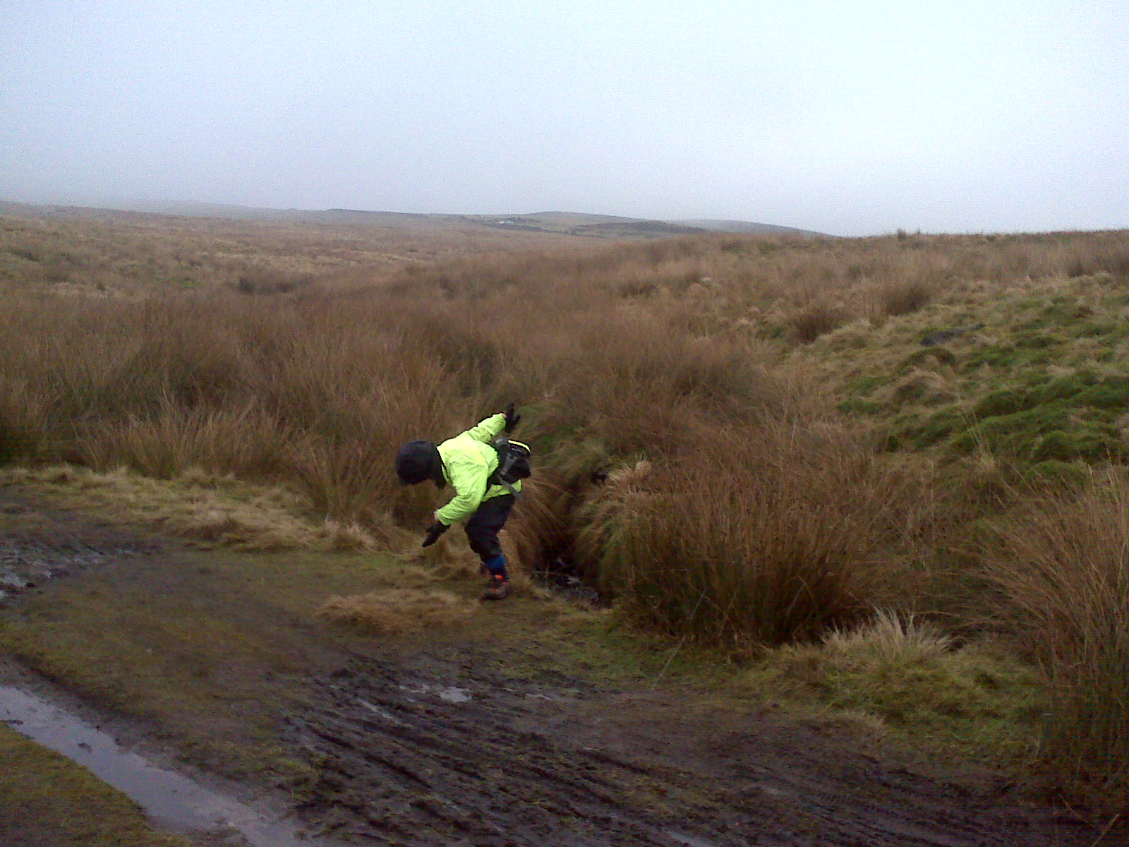
person who fell over one of the tussocks on winter hill – be careful !!!
though I feel the following comment is much better than anything i could write
http://www.daveweb.co.uk/whvol2.pdf
P48
“Although Winter Hill is a wonderful “playground” and a place of great
beauty and fascination for many of us, we should always be aware of the
hidden dangers at all times, and do all we can to minimise them.
Unfortunately, many of us like the bleakness and solitude of the place,
and often go wandering around on our own – and at times when there is
perhaps nobody else around on the moors – and in the most appalling
weather conditions! Some would call us foolhardy, but this is our choice
and what we choose to do – and we would defend our right to do just this
– so long as we are all aware of the possible dangers and we dress and
equip ourselves to minimise the risks.
In poor weather never underestimate Winter Hill. The bogs really ARE
there. The visibility really CAN vanish totally within 60 seconds. The
body surface temperature plus the chill factor for those unsuitably
dressed, really CAN drop to –10C or more on top of the Hill.
DO take care on Winter Hill ….. but enjoy it! Remember. It CAN bite”


