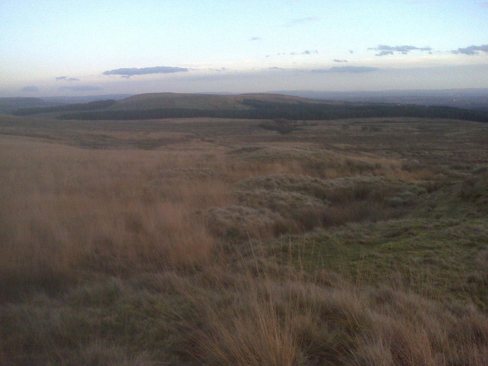
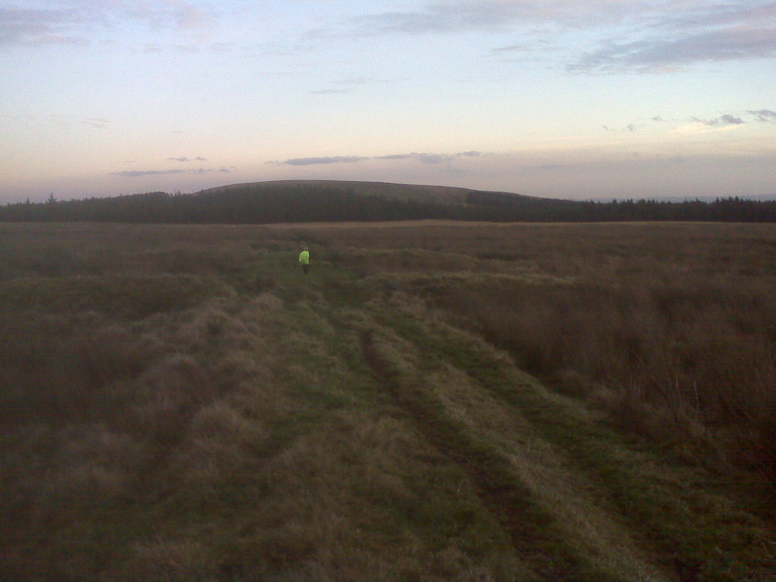
looking at Winter Hill and the Winter Hill mast’s
http://en.wikipedia.org/wiki/Winter_Hill,_Lancashire
Hordern: (13th century ‘handran’ and ‘haderan’). Possibly from the Anglo-Saxon ‘heorde’ meaning herd, and ‘hyrne’ meaning a nook or corner.
Belmont: “Fair or beautiful mountain”. Derived from Low Latin ‘bellus’ – fair, beautiful, and ‘montem’ – a mountain.
taken from –http://www.belmontvillage.org.uk/History.htm
http://www.blue-lagoon-belmont.co.uk/bb/index.php
http://en.wikipedia.org/wiki/Belmont,_Lancashire
http://en.wikipedia.org/wiki/Ward’s_Reservoir
http://www.about-rivington.co.uk/acatalog/The_Blue_Lagoon.html
http://www.bolton.org.uk/belmont.html
http://www.lancashiretelegraph.co.uk/news/8300011.Belmont_reservoir_is_back_with_splash___for_now/
http://www.guardian.co.uk/environment/2010/oct/18/8
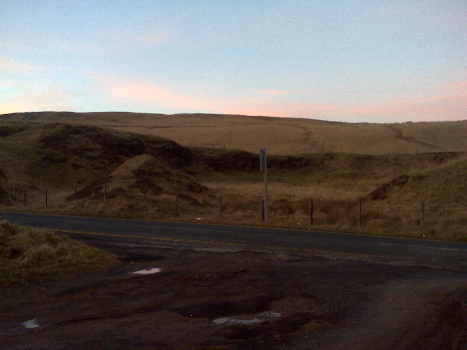
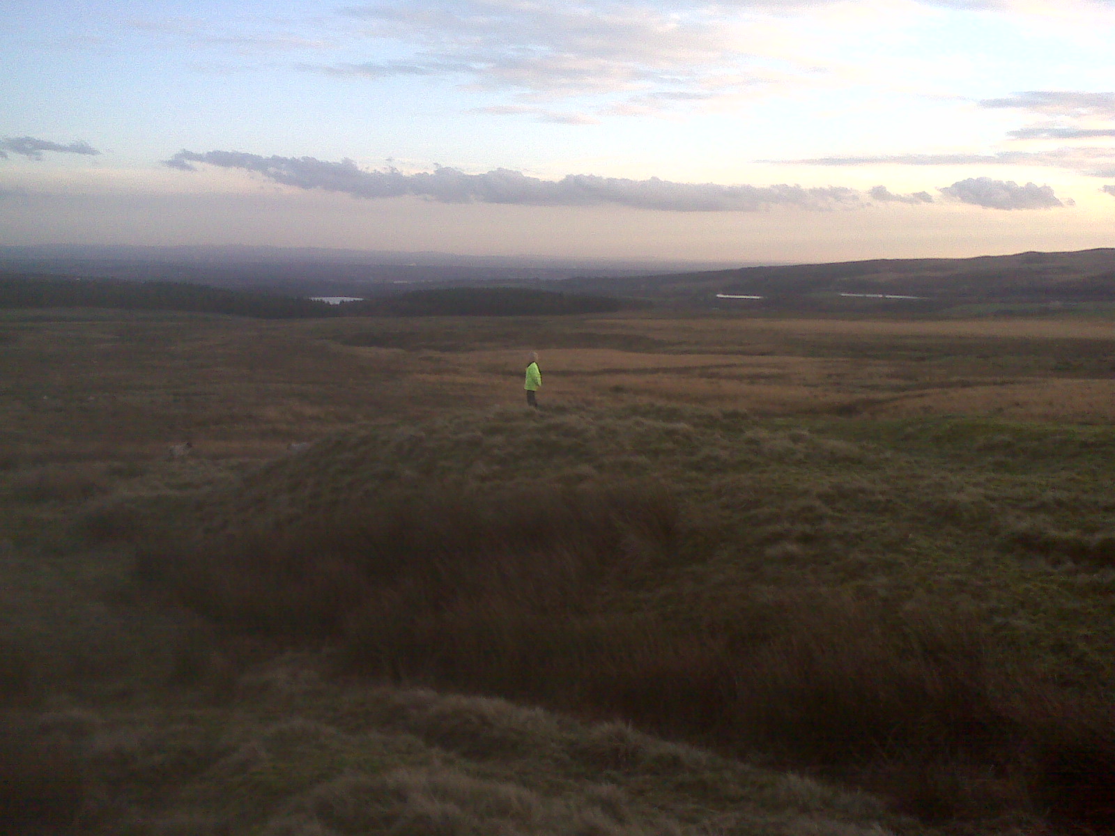
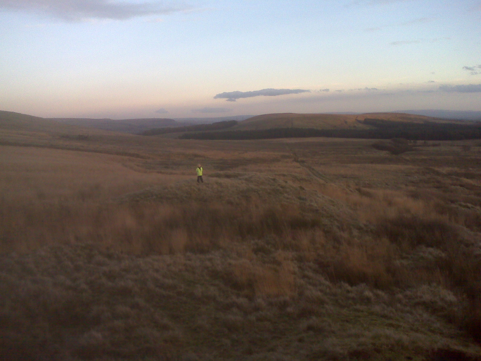
looking towards Hordern Stoops
Hordern Stoops: This marks the parish boundary. Stoop is from the Icelandic ‘staup’ meaning a knobby lump, and has come to mean simply a post or stock
taken from –http://www.belmontvillage.org.uk/History.htm
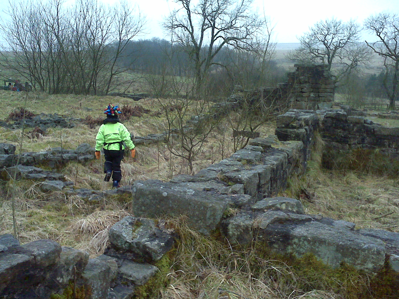
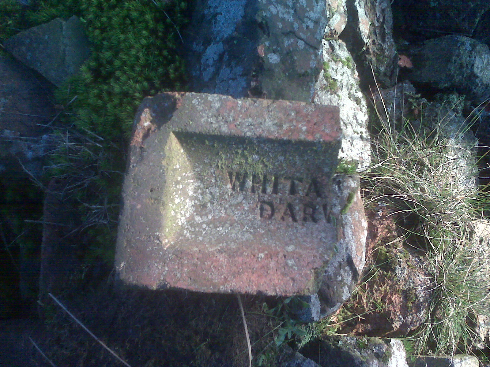
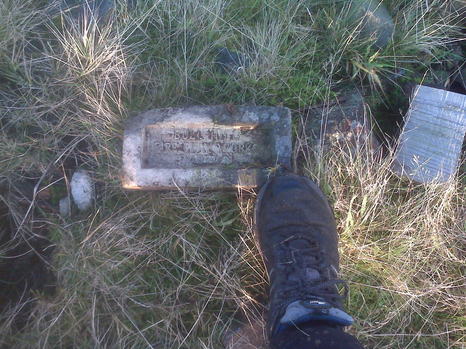
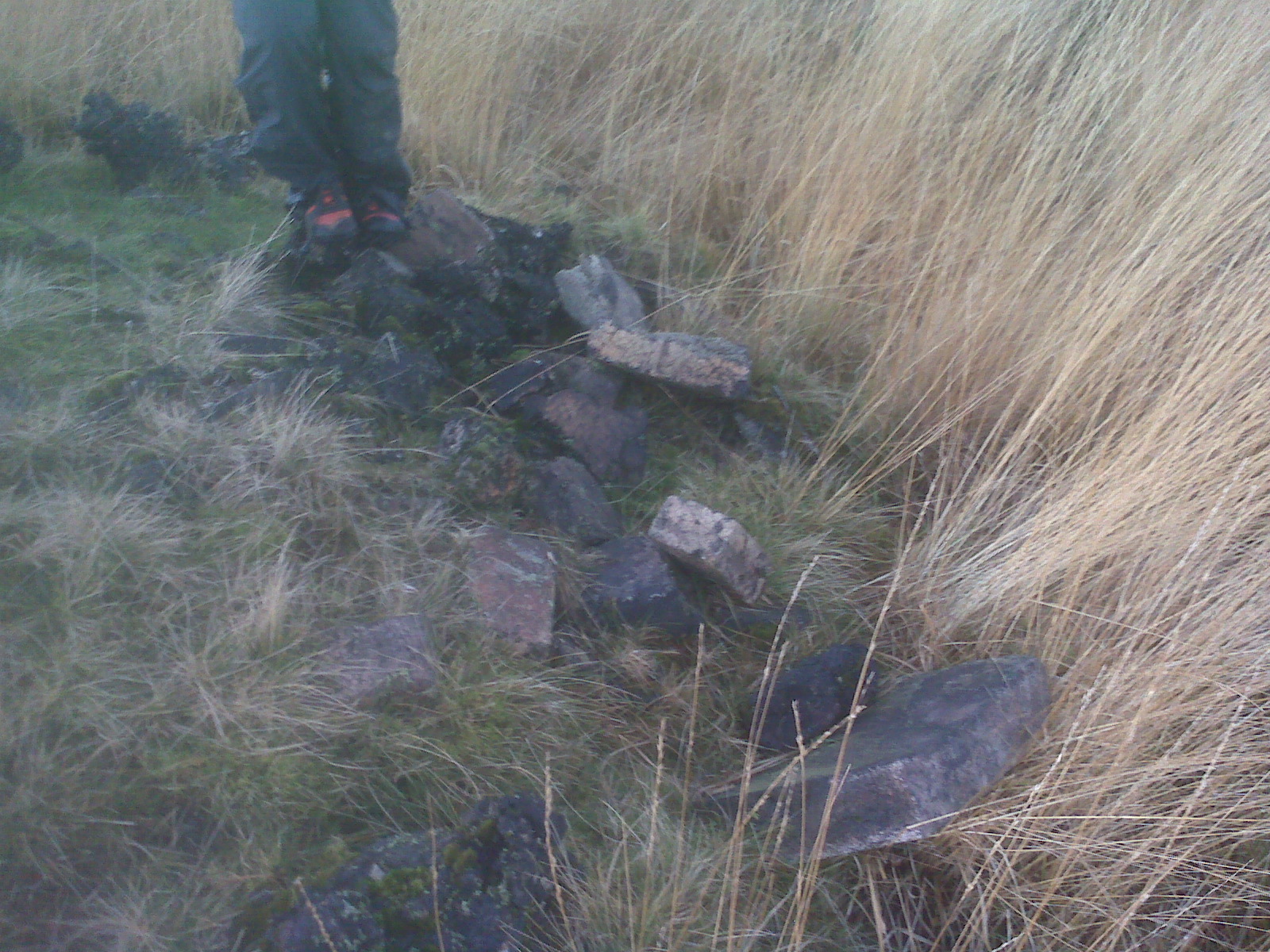
Horden Butts Delf -old quarry
http://www.blue-lagoon-belmont.co.uk/bb/index.php?PHPSESSID=aannhqtjutm8tijgce7hmloh27&topic=48.msg429#new
http://www.theboltonnews.co.uk/news/8187878.Plug_is_pulled_on_Blue_Lagoon/
http://www.stpetersbelmont.org.uk
Belmont Parish Church – St Peters
http://www.lancashire.gov.uk/environment/landscape/landscapecharacass/charcarea9.asp
http://www.canalsandwaterways.me.uk/page4.html
http://nwex.co.uk/showthread.php?t=7463
sites about the Blue lagoon
http://www.about-rivington.co.uk/acatalog/The_Blue_Lagoon_Waterfall.html
note from dad: This can be a high volume waterfall , rocks very slippy, hand holds were very slippy ,volume of water can knock someone light of their feet,
be very careful, in the dark ,
Jake has been taught to move quickly and safely across this type of terrain and this type of challenge,- what appears easy is not !
Jake uses Walsh trainers whilst not designed for this are very grippy in mud and wet conditions and on wet rocks, we use high performance waterproof and insulation layers to ensure Jake stay’s warm and dry , we have spare clothing and a full survival kit, the video’s are not that good quality the temperature was just above freezing, it was dark, noisy and poor visibility from my breath with the water spray from the water fall , it shows what Jake managed.
the weather was clear and just above freezing, the water very cold , it was getting dark so you have to ensure you have clear communication and ensure all members of the party are safe
approach to the bottom of the water fall
http://www.redbubble.com/people/stevesimages1/art/3040166-4-blue-lagoon-waterfall
http://www.geograph.org.uk/photo/2040341
above are other pictures of the waterfall
1st part
2nd part of the climb
last section
over the fence at the top -winter Hill mast at the right side
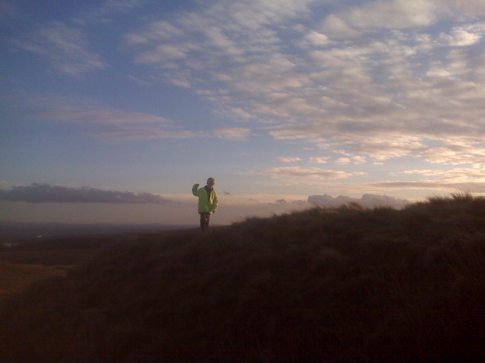
Note from dad -Jake is on the right hand side , Jake admiring the view towards the winter Hill mast
look at the lovely moon
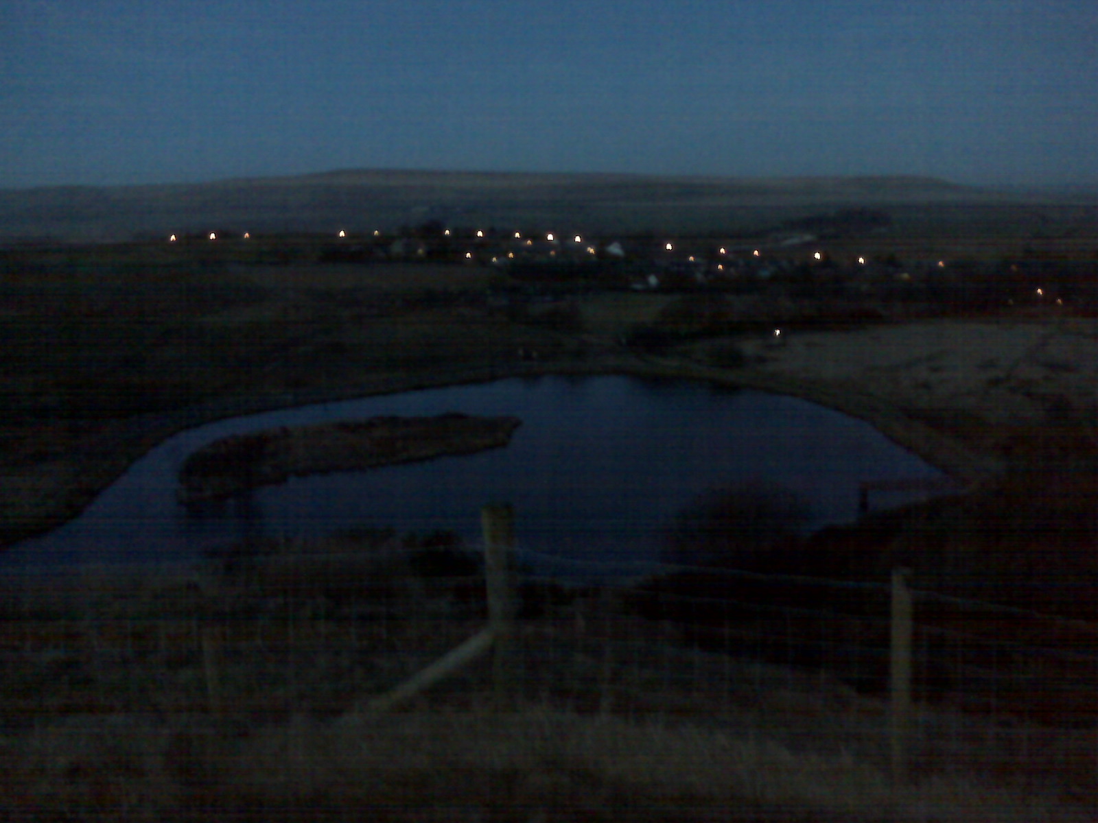
look at Belmont at night
lights of Belmont and moon over the Blue lagoon,
last look at the masts on winter hill, how many ?
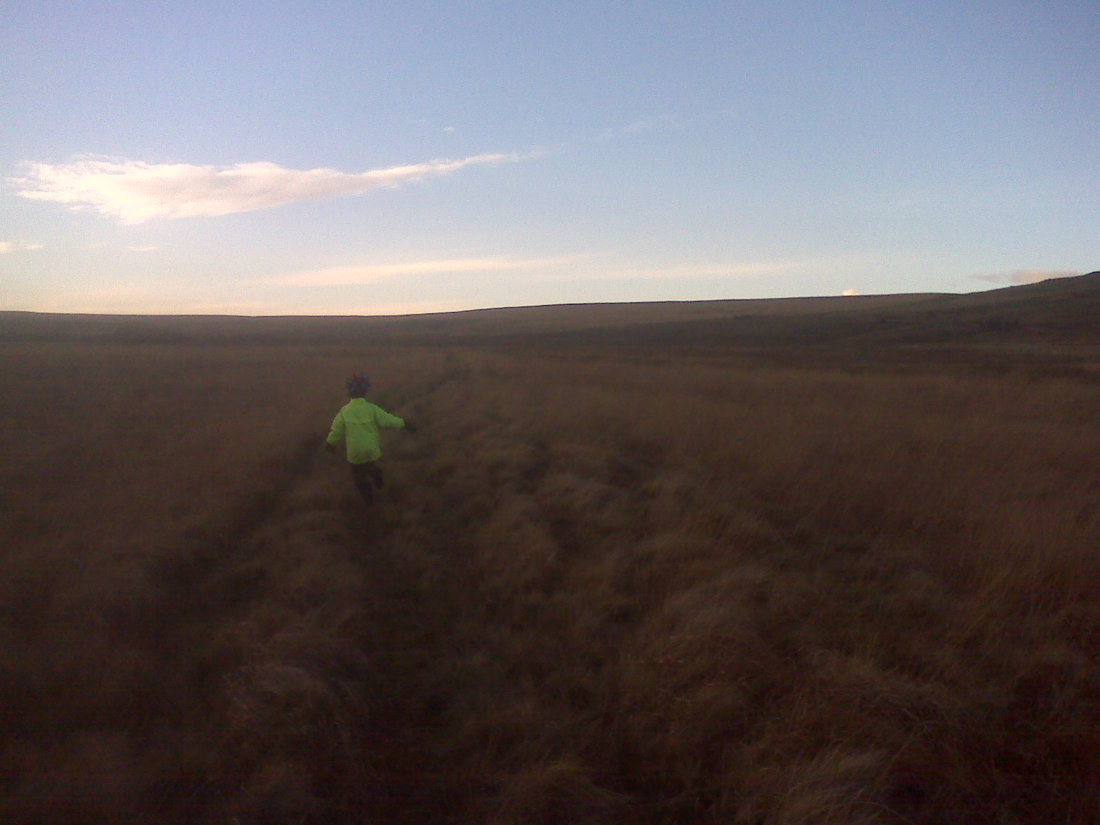
route is fast on the paths but slow across the moorland , fences are encountered on this run,
some background to Belmont and the area
support the local mountain rescue teams
Bolton Mountain rescue,
link to old map of this area